
Region · Georgia
Pshavi
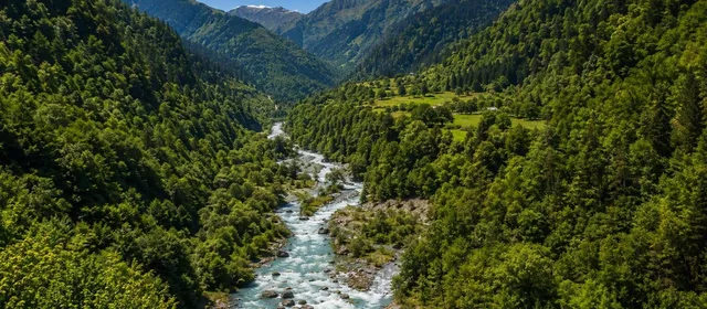
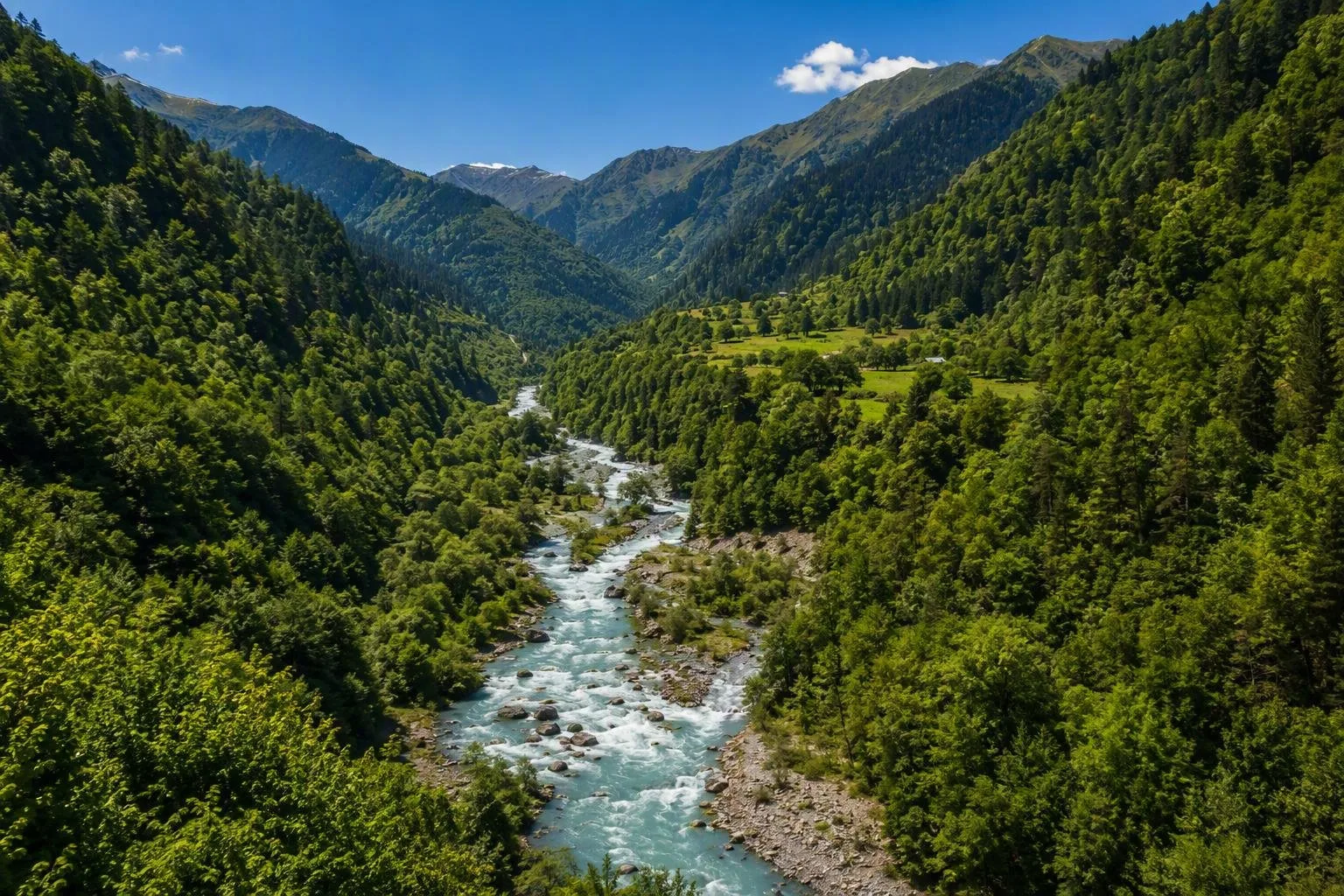
Pshavi is a historic highland region in northeastern Georgia, spread across the valleys of the Pshavis Aragvi and upper Iori rivers in Mtskheta-Mtianeti. It is a quiet landscape of small villages, wooded gorges and high pastures, closely tied to Georgian mountain culture and khinkali.
Orientation
Pshavi is a historic region rather than a single town. Its main spine is the Pshavis Aragvi valley, north of Tbilisi in Dusheti Municipality; the region also reaches towards the upper Iori valley. Settlements are scattered, so plan around the valley rather than expecting a walkable centre.
The route divides naturally into Lower Pshavi, around Magaroskari and Chargali, and Upper Pshavi, centred on Shuapkho and the villages beyond the confluence of the Pshavis and Khevsuretis Aragvi rivers.
The landscape and villages
This is southern Greater Caucasus country: steep valley sides, riverbanks, forest and increasingly open mountain ground. Pshavi generally lies between about 1,000 and 3,000 metres, lower and greener in character than some neighbouring highland areas.
Use the drive itself as the experience. The Pshavis Aragvi is the constant landmark, with villages set above or beside it. Magaroskari is the largest settlement on the approach; Shuapkho is the practical reference point for Upper Pshavi.
For a cultural stop, go to Chargali, birthplace of the Georgian poet Vazha-Pshavela. His former home is a house museum. It is a focused visit and a useful way to connect the region’s landscape with one of Georgia’s major literary figures.
Food and local character
Pshavi belongs to the northeastern highlands associated with khinkali. The classic mountain logic is clear: a filling meal of dough, broth and meat suited to a cold, rural environment. Order khinkali as a meal rather than a side dish, and eat the dumplings by the twisted top knot; leave the knot on the plate.
Village life remains the point here. Services are limited outside the larger settlements, and the region’s appeal is its sequence of inhabited valleys rather than a list of formal attractions.
Getting there and moving around
From Tbilisi, take the Georgian Military Road north to Zhinvali, then turn onto the Pshavi road by Chinti. Magaroskari is roughly 65 km from Tbilisi; Chargali is around 75–80 km, and Shuapkho about 100 km.
- By car: The main approach road is largely paved and suitable for an ordinary car.
- Beyond Shuapkho: Roads farther into Upper Pshavi become unpaved; do not treat them as routine city-car driving.
- Public transport: Services from Didube in Tbilisi run towards Magaroskari, Chargali and Shuapkho. They are useful for reaching villages but not for flexible valley exploration.
When to go
Summer is the straightforward season for driving, walking and spending time by the river. Days can be warm, while evenings cool down sharply. At higher elevations, cloud and mist can move in quickly even in summer.
Spring arrives late in the high valleys. In winter, snow and cold make the region a more demanding trip; do not build an itinerary around minor roads or high-ground access.
From the magazine
Stories about Pshavi
Editorial stories linked directly to Pshavi.
No stories about Pshavi have been published yet.
Routes from our editors
Travel through Pshavi
Editorial routes connecting Pshavi with other countries, cities and hotspots.
No routes through Pshavi have been published yet.
More in Georgia
Related hotspots
Other cities, nature areas and places within Georgia.
Tbilisi
5 linked stories and routes
Chughureti, Tbilisi
2 linked stories and routes

Batumi
1 linked stories and routes
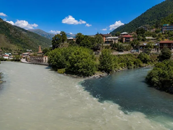
Mtiuleti
1 linked stories and routes
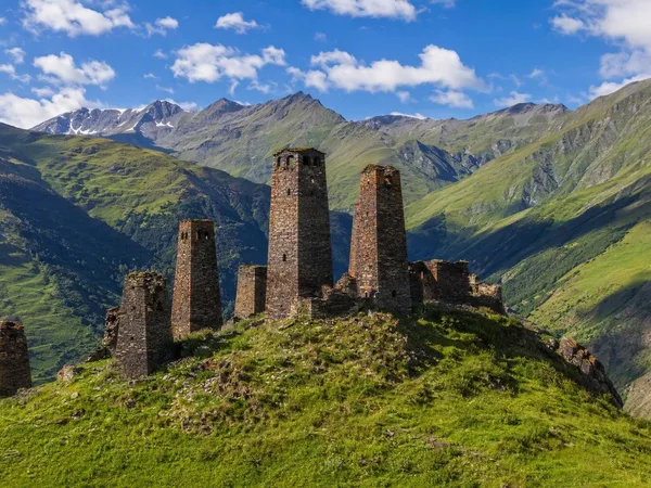
Tusheti
1 linked stories and routes
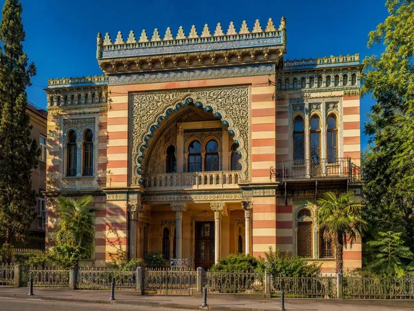
Sololaki, Tbilisi
1 linked stories and routes
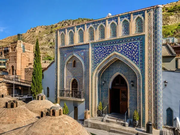
Abanotubani, Tbilisi
1 linked stories and routes
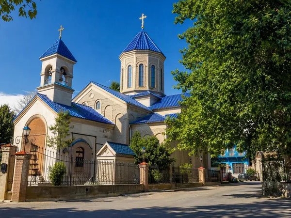
Vera, Tbilisi
1 linked stories and routes
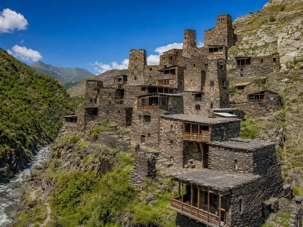
Khevsureti
1 linked stories and routes
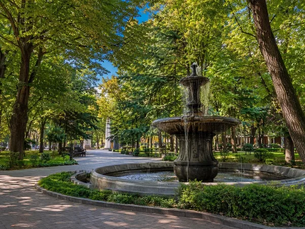
9 April Park
1 linked stories and routes
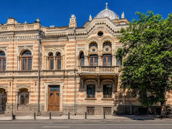
Orbeliantubani
1 linked stories and routes
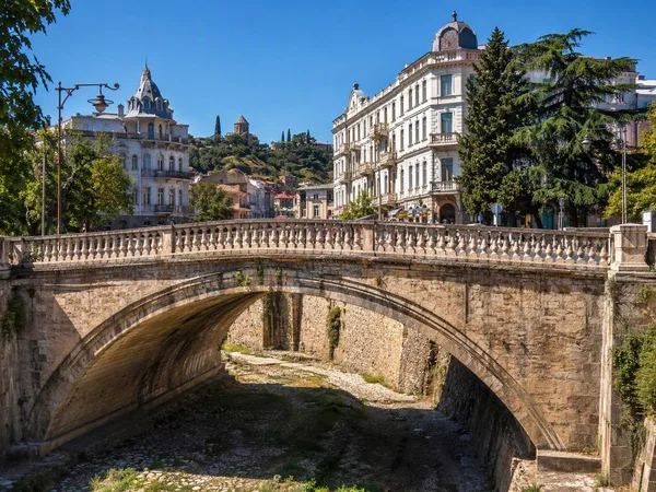
Dry Bridge
1 linked stories and routes
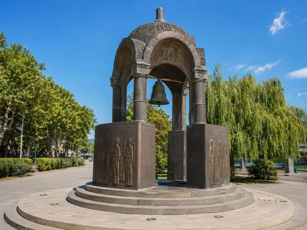
Dedaena Park
1 linked stories and routes