Region · Guyana
West Demerara
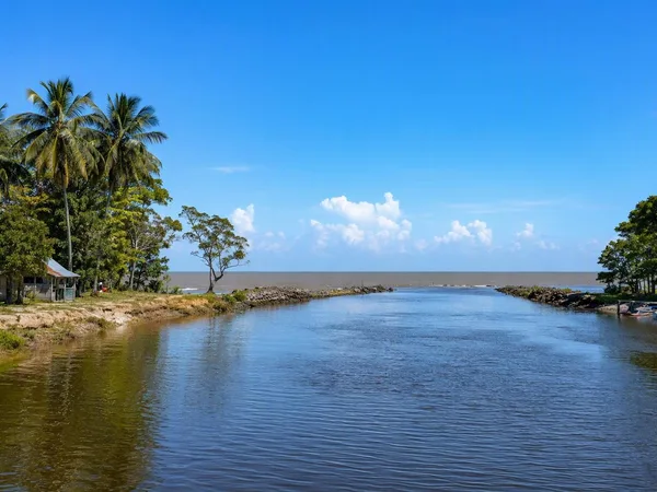
West Demerara is Guyana’s low-lying coastal district on the west bank of the Demerara River, opposite Georgetown. It is the mainland side of Region 3, shaped by village corridors, drainage works, farms and the river crossing into the capital area.
Orientation
West Demerara runs west from the Demerara River through the mainland portion of Guyana’s Essequibo Islands–West Demerara region. Vreed-en-Hoop is the regional capital at the river end; villages and agricultural land extend west along the coast and inland through canal country.
This is a working coastal landscape rather than a single town centre. The useful way to explore it is by linking a few stops along the road corridor, then using the riverfront as the point of arrival or departure.
The defining crossing
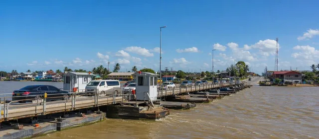
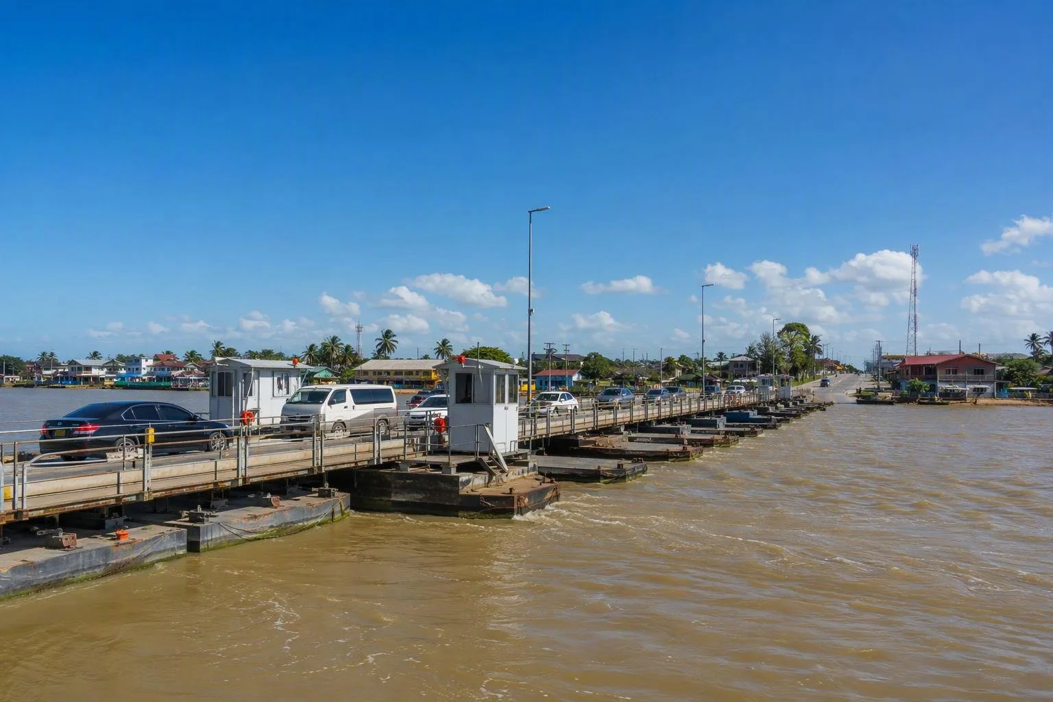
The Demerara Harbour Bridge is West Demerara’s principal link to the east bank and Georgetown. The floating bridge runs between Peter’s Hall and Meer Zorgen, across the Demerara River, and is about 2 km long.
It is also a substantial piece of local infrastructure: its movable sections allow vessels through, so road traffic can be interrupted during bridge operations. Build time into any transfer across the river rather than treating the crossing as a fixed-duration commute.
Heritage on the west bank
West Demerara’s listed heritage is dispersed through its villages. Good short stops include:
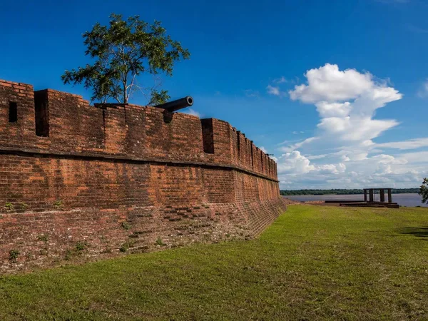
- Klein Pouderoyen Koker — an 18th-century piece of plantation-era water-control infrastructure.
- Joe Vieira Park, Meer Zorgen — a public landscape on the west bank.
- Chinese Immigration Monument, Windsor Forest — a commemorative monument dating from 1986.
- Versailles Shivala — an early-20th-century Hindu religious site on the West Bank.
These are not museum-cluster attractions. Treat them as individual stops and respect that several stand within living communities.
Landscape and food economy
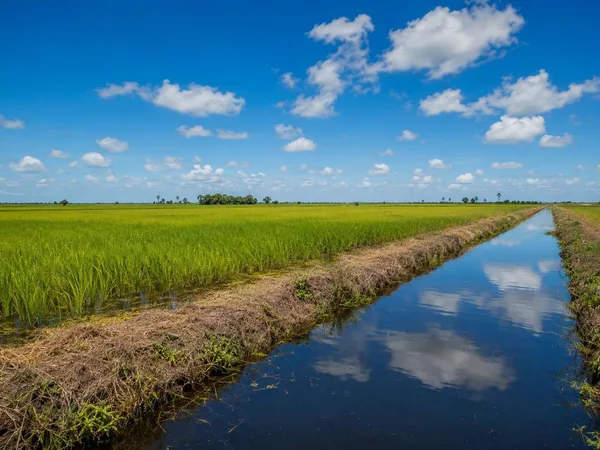
The flatness is fundamental here. Drainage channels, canals, embankments and kokers manage water across a cultivated coastal plain. Rice, vegetables and livestock are central regional activities, and West Demerara is part of the supply network that brings fresh produce into Georgetown.
For a practical sense of the district, look beyond the main road: canals, field edges and village-side drains explain both the settlement pattern and the agricultural economy better than a quick bridge crossing does.
Getting around
Road travel connects the west-bank villages, while the bridge connects the district with Georgetown. Use Vreed-en-Hoop or Meer Zorgen as sensible river-side reference points, then plan village visits as a sequence rather than attempting to cover the whole district in one outing.
Access note: bridge traffic can pause for marine movements. If you have a timed onward connection, allow a margin before crossing the Demerara River.
From the magazine
Stories about West Demerara
Editorial stories linked directly to West Demerara.
No stories about West Demerara have been published yet.
Routes from our editors
Travel through West Demerara
Editorial routes connecting West Demerara with other countries, cities and hotspots.
No routes through West Demerara have been published yet.
More in Guyana
Related hotspots
Other cities, nature areas and places within Guyana.