Nature area · Guyana
Pomeroon
Pomeroon is the riverine agricultural district around the Pomeroon River in Guyana’s Region Two, on the country’s north-west coast. Its canals, farm plots and river communities supply coconuts, plantains and other produce.
Orientation
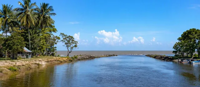
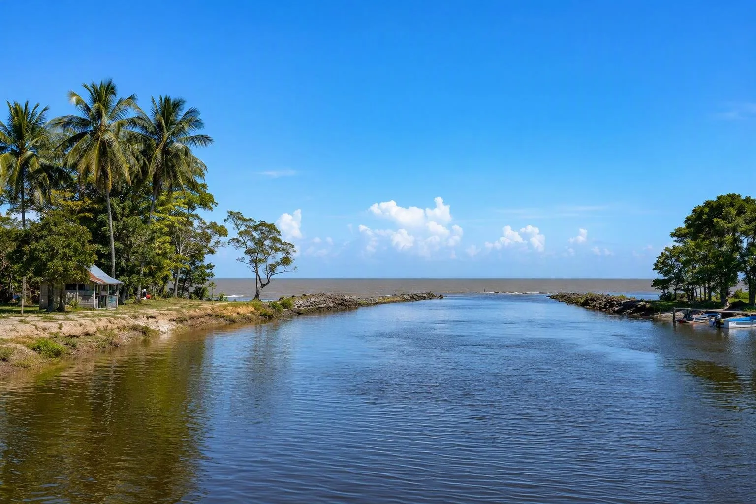
Pomeroon follows the Pomeroon River through Guyana’s low coastal plain, between the Orinoco and Essequibo river systems. The river reaches the Atlantic near its northern end; inland, settlements and farms spread along its banks and side canals. This is working agricultural country rather than a conventional sightseeing circuit.
Use Charity as the lower-river base. The town is one of the Pomeroon’s principal settlements and the practical place to sort provisions, local transport and onward arrangements to river communities.
What defines the river
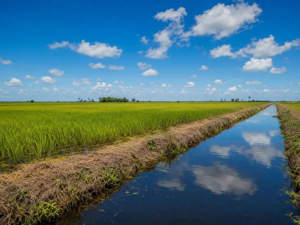
The river is the organising feature: houses, cultivation and canals face the water, while boat travel connects communities that are not reached as simply by road. The landscape is low and water-managed, so drainage, irrigation and dredging are central to daily life as well as farming.
Pomeroon is especially associated with coconuts, but cultivation also includes plantains and cash crops. Coconut, citrus, cocoa and coffee are being expanded in the area. Look at the river as a production landscape: groves, raised farm beds, drainage channels and small landing points explain more about Pomeroon than a checklist of monuments would.
Moving around
- By water: River travel is the useful way to reach settlements beyond the lower river. Arrange boats locally and agree the route, return time and price before departure.
- By road: Reach the Essequibo Coast first, then continue toward Charity for access to Lower Pomeroon.
- On foot: Walking is mainly for short stretches in settlements. Farms and canals are private or working spaces; do not enter plots or use landing stages without permission.
There is no single riverside promenade or visitor centre. Treat a trip here as local transport and agricultural landscape viewing, not as an independently signposted attraction.
Timing and conditions
The coast has two drier periods, roughly mid-January to May and mid-July to mid-November. The wetter periods bring heavier rain, higher water and more difficult road conditions, though river movement can be more practical. Conditions at the river mouth and canals can change with rain, tides and dredging work.
Important: Flooding and drainage are real operational issues in Pomeroon. Keep plans flexible, especially for travel to farms or smaller riverside communities, and do not assume a boat landing or canal route is passable.
Visit with care
Pomeroon is home to river communities and active farms, not an open-air exhibit. Ask before photographing people, homes, boats or produce. Carry drinking water, sun cover, rain protection and insect repellent; river trips offer little shade or shelter once underway. Pack out rubbish and avoid single-use plastic, particularly around canals and landing points.
From the magazine
Stories about Pomeroon
Editorial stories linked directly to Pomeroon.
No stories about Pomeroon have been published yet.
Routes from our editors
Travel through Pomeroon
Editorial routes connecting Pomeroon with other countries, cities and hotspots.
No routes through Pomeroon have been published yet.
More in Guyana
Related hotspots
Other cities, nature areas and places within Guyana.