Region · Guyana
Mahaica-Berbice corridor
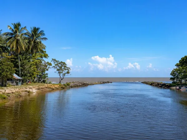
The Mahaica-Berbice corridor follows Guyana’s low Atlantic coastal plain in Region 5, between the Mahaica and Berbice rivers. It is a working landscape of rice fields, drainage canals, villages and river crossings, with Fort Wellington as its administrative centre.
Orientation
This is Guyana’s Region 5, extending from the east bank of the Mahaica River to the west bank of the Berbice River. The corridor is not a single town or attraction: it is a broad coastal region of farming communities, waterways and low-lying fields. Fort Wellington is the regional capital; Mahaicony, Abary, Rosignol and the settlements of West Coast Berbice give the route its useful stopping points.
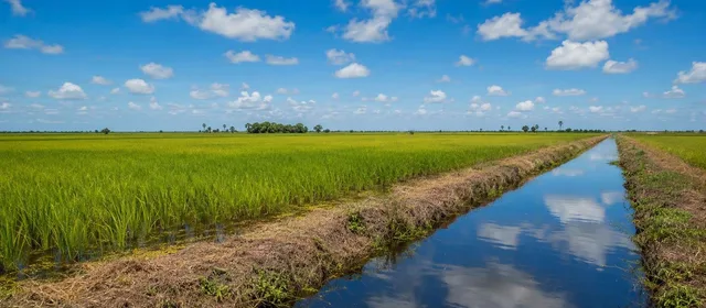
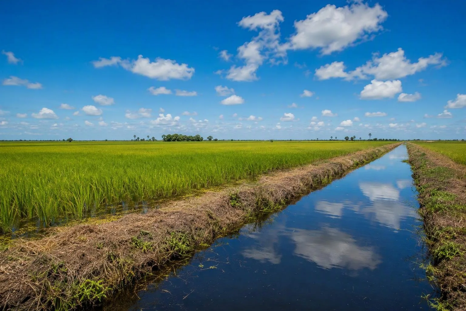
The landscape changes subtly rather than dramatically. Rice paddies, canals and drainage works dominate the coastal plain; sand-and-clay country and forest lie farther inland.
What defines the route
Agriculture is the reason to travel slowly here. Rice and sugar production, coconuts, dairy cattle, vegetables, ground provisions and fruit all form part of the regional economy. The straight canals beside the fields are not decoration: drainage and irrigation are fundamental to this flat coast.
Look for the practical geometry of the place:
- paddy fields broken by drainage channels;
- village roads and small bridges;
- the Mahaica, Mahaicony, Abary and Berbice river systems;
- roadside settlements where supplies and transport meet.
For a concise nature stop, Abary Creek is the region’s best-known birding area. Its wetland setting suits a patient visit rather than a quick roadside glance.
Heritage stops
Use the National Trust listings to give the drive historical structure. In Fort Wellington, St Michael’s Anglican Church dates from 1837. At Woodley Park, the Shiv Temple is one of Guyana’s older Hindu temples. Belladrum’s St Alban’s Anglican Church was established in 1838, while Hopetown was founded by formerly enslaved people around 1840.
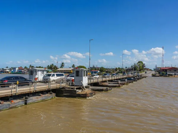
At Adventure, the 1961 Abary Bridge is a regional landmark on the principal access road. It is a functional crossing, not a viewpoint attraction, but it makes the transport logic of the coast visible.
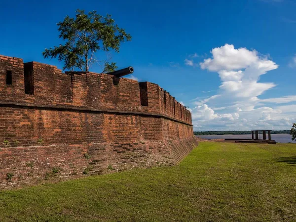
Fort Nassau, on the right bank of the Berbice River, is the major historical detour. The remains mark the former capital of the Dutch colony of Berbice and connect directly to the 1763 rebellion. Treat it as a separate river-side visit, not a casual stop along the coast road.
Moving through the corridor
The coast road is the practical spine. Build a day around a small number of stops instead of trying to cover the entire region: distances look modest on a map, but village traffic, bridges and weather can slow progress.
Driving: Keep fuel and drinking water with you; services are spread between settlements.
Walking: Villages are better explored in short stretches. Roads are working transport routes, often with little separation from traffic.
Conditions: Heavy rain can quickly leave standing water on this low coastal plain. Allow extra time and avoid treating drainage channels or field tracks as public walking routes.
From the magazine
Stories about Mahaica-Berbice corridor
Editorial stories linked directly to Mahaica-Berbice corridor.
No stories about Mahaica-Berbice corridor have been published yet.
Routes from our editors
Travel through Mahaica-Berbice corridor
Editorial routes connecting Mahaica-Berbice corridor with other countries, cities and hotspots.
No routes through Mahaica-Berbice corridor have been published yet.
More in Guyana
Related hotspots
Other cities, nature areas and places within Guyana.