Region · Guyana
Rupununi
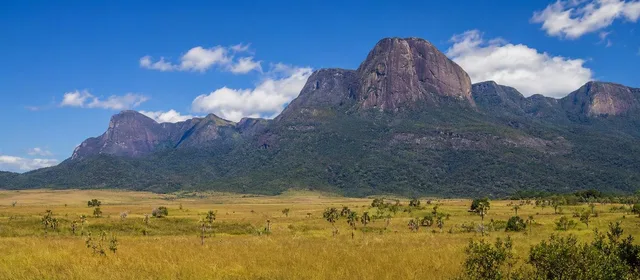
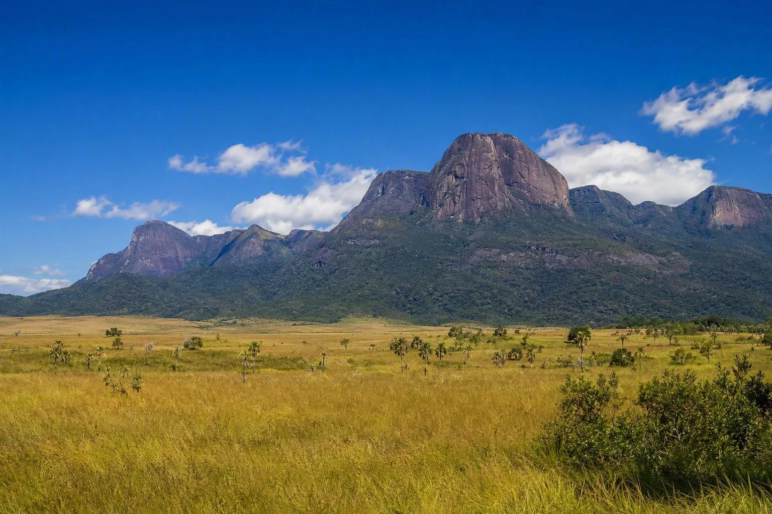
The Rupununi is Guyana’s vast southwestern interior region in Upper Takutu–Upper Essequibo (Region 9). Its savannahs, wetlands, rivers and forested Kanuku Mountains support Indigenous communities, ranch country and wildlife-focused travel.
Orientation
The Rupununi occupies Guyana’s southwest, close to Brazil. Lethem is the principal service town and practical arrival point; beyond it, the region spreads across a large mosaic of open savannah, seasonal wetlands, river corridors and forest. The Kanuku Mountains divide the broad North and South Rupununi landscapes.
This is not a single park or attraction with a gate. Distances are substantial, roads can be rough, and a stay is normally built around a lodge, ranch or community rather than quick day trips.
Landscape and wildlife
The seasonal shift is the key to the Rupununi. In wetter months, water spreads across low-lying savannah and wetlands. In drier periods, open grassland and remaining watercourses make the region easier to traverse.
Its habitats support a notable mix of species, including:
- Open savannah: giant anteaters and other grassland wildlife.
- Rivers and wetlands: black caiman, giant river otters, arapaima and waterbirds.
- Forest and mountain edges: harpy eagles, jaguars and diverse birdlife.
Wildlife is never guaranteed. Choose a base and guiding programme suited to a specific interest—river trips, birding, forest walks or savannah drives—rather than expecting every habitat at one stop.
Communities and bases
The Rupununi is home to Macushi, Wapishana and Wai Wai peoples. Community-run accommodation and locally guided activities are a central part of travel here; they also provide the local knowledge needed for rivers, trails and wildlife observation.
North Rupununi bases include Surama, Yupukari and Rewa; ranches and communities also operate across the central and southern areas. Lethem works as the logistics hub for supplies, transport and connections, but is not a substitute for staying out in the landscape.
Village visits: follow the host community’s rules, use locally arranged guides where offered, and ask before photographing people, homes or cultural activities.
Getting there and moving around
Flights link Georgetown with Lethem and some interior airstrips. Overland access follows the Linden–Lethem route, but requires time and a vehicle appropriate to conditions. Transfers onwards may involve 4WD vehicles, boats or small aircraft, depending on the destination.
Plan around your chosen base before arriving in Lethem. Mobile coverage, cash access and medical facilities become limited away from town. Carry essentials, keep luggage practical for light-aircraft transfers, and allow extra time when rain affects roads or river travel.
When to go
The drier windows, broadly February–April and September–November, generally favour road movement and savannah-based outings. Wet conditions can transform access and make some tracks impassable, while opening different wetland and river experiences. Match the season to the activity and the part of the Rupununi you intend to visit.
From the magazine
Stories about Rupununi
Editorial stories linked directly to Rupununi.
No stories about Rupununi have been published yet.
Routes from our editors
Travel through Rupununi
Editorial routes connecting Rupununi with other countries, cities and hotspots.
No routes through Rupununi have been published yet.
More in Guyana
Related hotspots
Other cities, nature areas and places within Guyana.