
Sight · Yemen
Tawila cisterns
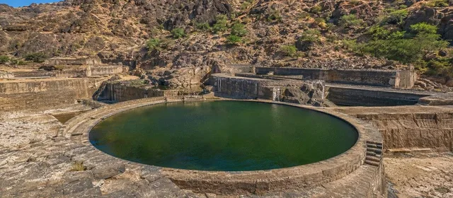
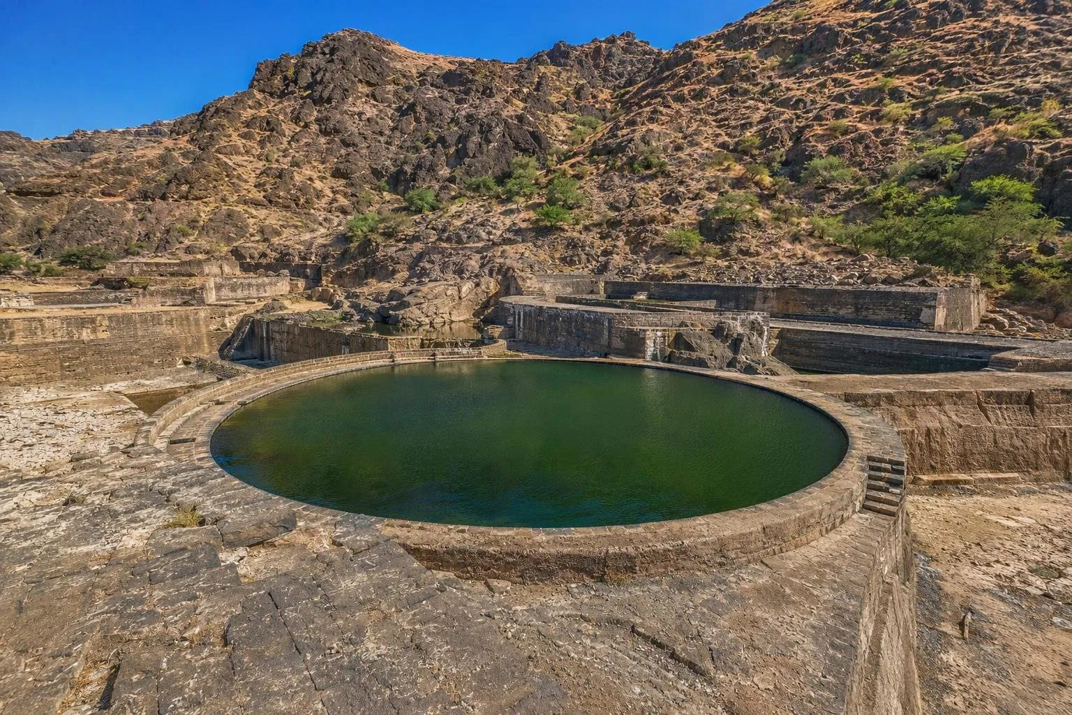
The Tawila cisterns are a historic rainwater-harvesting complex in Wadi Tawila, on the edge of Crater in Aden, Yemen. Rock-cut reservoirs and channels caught runoff from the Shamsan massif, storing water and reducing flood pressure on the city below.
Setting
The Tawila cisterns sit in Wadi Tawila, southwest of Crater, Aden’s old volcanic-core district. This is not a single tank but a linked waterworks landscape: reservoirs cut into volcanic rock, with channels running down from the slopes of Shamsan.
The site is often called the Tawila Tanks or the Aden Cisterns. Its function was direct and practical: capture short bursts of rain, retain part of the flow, and send surplus water through sailat—engineered flood channels—towards the sea.
Read the engineering
Look for the changing shapes and levels of the basins. Water was meant to pass through a sequence rather than hit the low city at full force. The tank walls were lined with waterproof stucco containing volcanic ash, turning excavated rock into durable reservoirs.
Two named elements help orient the complex:
- Coghlan Tank: the principal basin within the main group.
- Playfair Tank: the large circular basin at the lower end of the system.
The scale makes most sense when viewed as flood infrastructure as well as water storage. In an arid coastal city, rare heavy rain could be both essential and destructive.
What survives
Accounts describe a much larger original network; the visible complex is the result of successive rebuilding. Nineteenth-century British works cleared buried tanks and reshaped the system, replacing many smaller cascading reservoirs with fewer, larger basins. What you see is therefore an ancient water-management site with a major Victorian-era redesign.
The original construction date and builders remain uncertain. The cisterns were recorded in medieval writings, and later restorations took place under the Rasulids. Avoid treating any single proposed ancient origin as settled fact.
Visiting the site
Treat the cisterns as a public historic landscape rather than a functioning water supply. Walk the visible basin edges and channels slowly; the point is to follow the route water would have taken from the volcanic slopes down towards Crater.
Take care: channels, steps and basin sides are hard stone surfaces with drops and uneven footing. Do not enter restricted basins or climb walls. Heavy rain can turn normally dry drainage lines into hazardous flood routes.
Why it matters
The cisterns are central to understanding Aden’s built landscape. The plateau above, the reservoirs in the wadi and the sailat below formed one coordinated response to scarcity and flash flooding—using the shape of an extinct volcano as civic infrastructure.
From the magazine
Stories about Tawila cisterns
Editorial stories linked directly to Tawila cisterns.
No stories about Tawila cisterns have been published yet.
Routes from our editors
Travel through Tawila cisterns
Editorial routes connecting Tawila cisterns with other countries, cities and hotspots.
No routes through Tawila cisterns have been published yet.
More in Yemen
Related hotspots
Other cities, nature areas and places within Yemen.
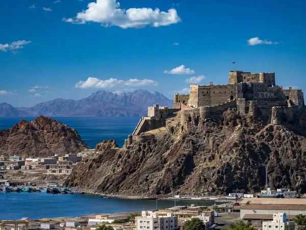
Aden
4 linked stories and routes
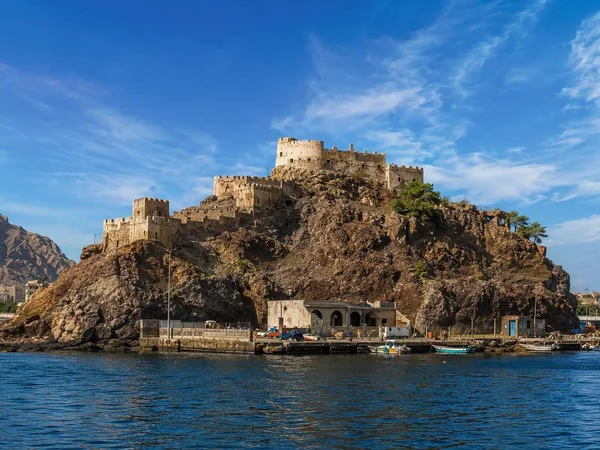
Sira (Crater District)
1 linked stories and routes
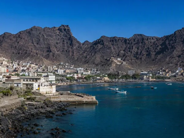
Crater, Aden
1 linked stories and routes
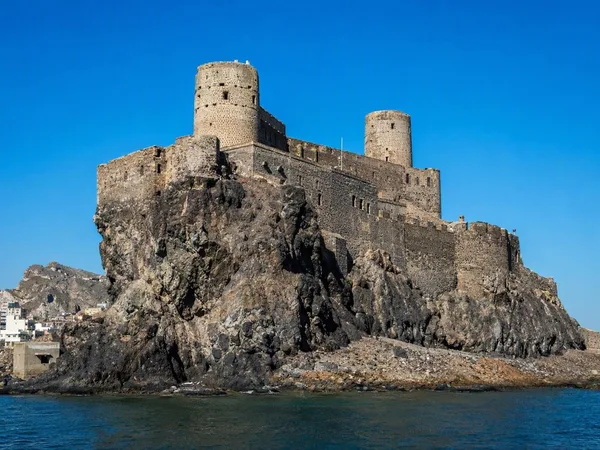
Sira Castle
0 linked stories and routes
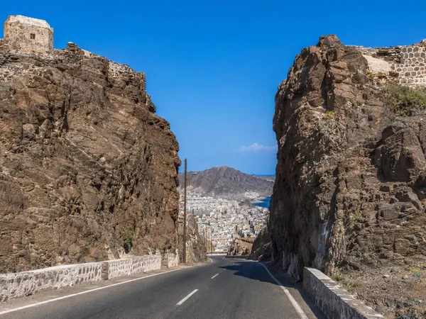
Main Pass, Aden
0 linked stories and routes
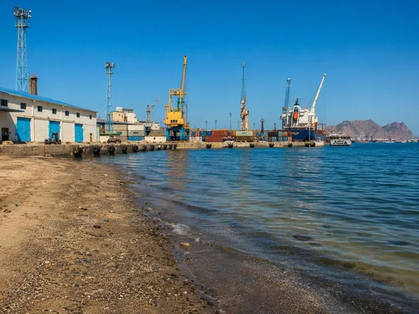
Ma'alla Beach, Aden
0 linked stories and routes
Tawahi, Aden
0 linked stories and routes
Khussaf, Aden
0 linked stories and routes