
Neighbourhood · Yemen
Crater, Aden
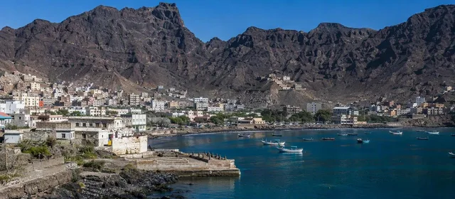
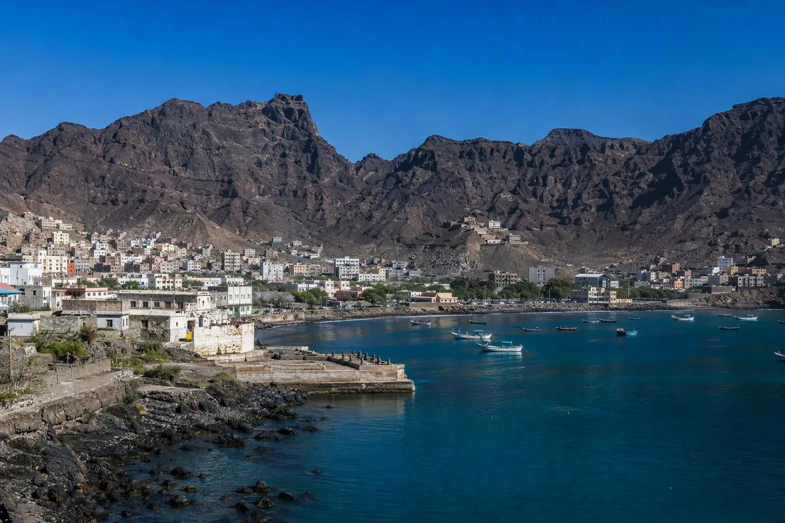
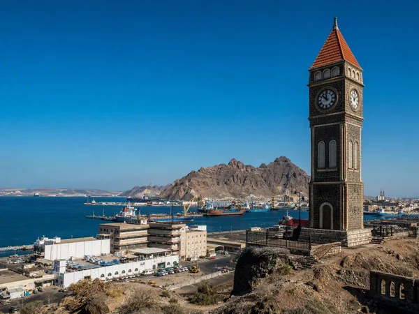
Crater is Aden’s historic core, set inside the horseshoe-shaped crater of an extinct volcano on Yemen’s southern coast. Its volcanic walls, port setting and waterworks explain why this compact district became central to Aden’s history.
Orientation
Crater is the historic urban district of Aden, also known administratively as Seera. It occupies the basin of an extinct volcano, whose horseshoe-shaped rim opens east toward Front Bay. The landscape is not backdrop: the crater created the protected setting that made Aden a maritime city at the gateway to the Red Sea.
The district belongs to Aden’s volcanic peninsula, connected to the mainland by a low isthmus. Streets, homes, commercial buildings and religious sites occupy the ground below the steep dark slopes of the Shamsan massif.
What defines the district
Crater developed as a port, marketplace and defended settlement. Its position linked shipping routes between the Red Sea, the Indian Ocean, East Africa and South Asia; its built fabric records those connections in commercial and residential buildings, mosques, churches and temples.
The British captured Aden in 1839 and made the port a strategic coaling stop. Crater remained a key administrative and commercial quarter, while Indian merchants, workers and families became part of the city’s social fabric. That history still matters when reading the district: this is an urban landscape shaped by trade, migration and port infrastructure, not a single monument.
Key heritage features
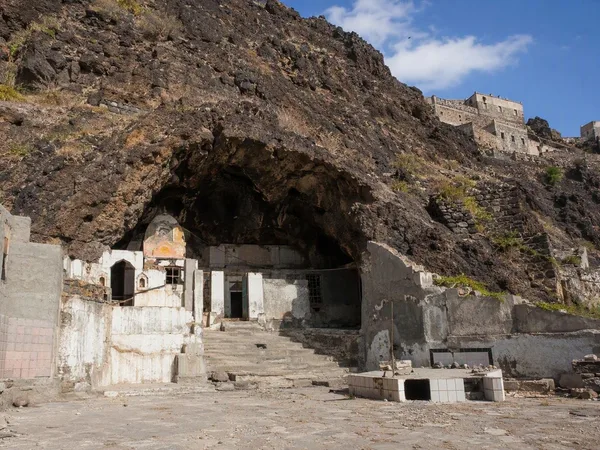
- Tawila Cisterns: a historic rainwater-harvesting system built into the volcanic terrain. Channels directed runoff from higher ground through reservoirs, helping store water and reduce flash-flood risk.
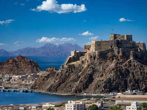
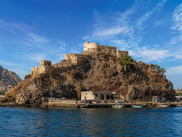
- Sira Fortress: the fort on the rocky headland off the district makes the relationship between volcanic topography, sea approaches and defence immediately clear. It remains a military site; do not assume visitor access or photograph security infrastructure.
- The crater rim and Front Bay: together they give the clearest reading of Aden’s natural harbour and the district’s enclosed geography.
Reading the streets
Look for the contrast between constrained topography and dense urban use. The crater walls dictated drainage, routes and defensive positions; the port brought goods, languages and communities into a tightly bounded town. Markets and everyday food traditions reflect that long connection with the wider Indian Ocean, including breads known locally as roti and layered parata, often served with sweet milk tea.
Access and safety
Crater is not a self-contained attraction with a dependable visitor circuit, published hours or verified tourism services. Yemen remains subject to severe security risks, including conflict, terrorism, kidnapping, crime, damaged infrastructure and unexploded ordnance. Treat Crater as a place for historical study rather than independent sightseeing until reliable, current local conditions make a visit appropriate.
Do not approach military, government, port or security installations. If legitimate travel becomes possible, confirm local access arrangements on the ground and keep plans flexible.
From the magazine
Stories about Crater, Aden
Editorial stories linked directly to Crater, Aden.
No stories about Crater, Aden have been published yet.
Routes from our editors
Travel through Crater, Aden
Editorial routes connecting Crater, Aden with other countries, cities and hotspots.
No routes through Crater, Aden have been published yet.
More in Yemen
Related hotspots
Other cities, nature areas and places within Yemen.
Aden
4 linked stories and routes
Sira (Crater District)
1 linked stories and routes
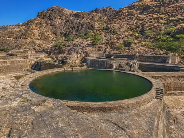
Tawila cisterns
0 linked stories and routes
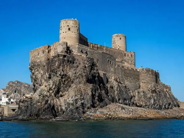
Sira Castle
0 linked stories and routes
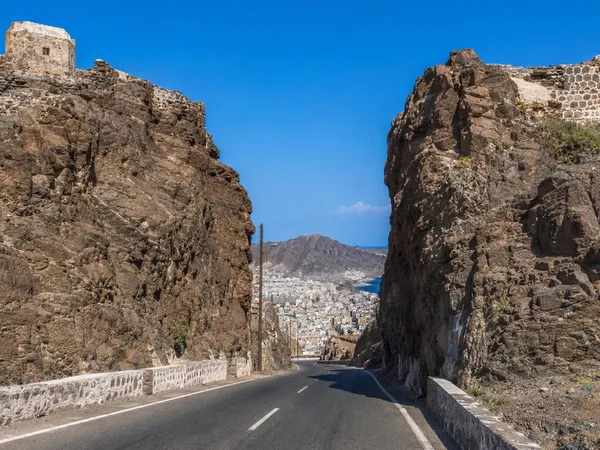
Main Pass, Aden
0 linked stories and routes
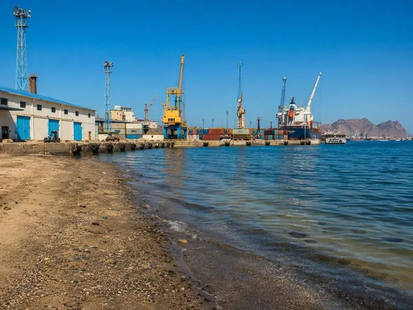
Ma'alla Beach, Aden
0 linked stories and routes
Tawahi, Aden
0 linked stories and routes
Khussaf, Aden
0 linked stories and routes