Mountain · Switzerland
Bernina Pass
Bernina Pass is a 2,328-metre Alpine crossing in Graubünden, linking the Upper Engadin with Val Poschiavo. Road, railway and a stark plateau of reservoirs and mountain lakes share the pass.
The pass at a glance
Bernina Pass crosses the high ground between the Upper Engadin and the Italian-speaking Val Poschiavo in southeastern Switzerland. The road summit is 2,328 metres above sea level; the Bernina railway reaches a separate, lower summit at Ospizio Bernina, 2,253 metres.
This is a working transport corridor, not a village or a contained attraction. Its appeal is the exposed landscape: long water, bare slopes, rail tracks and the abrupt transition between the northern and southern valleys.
Read the landscape
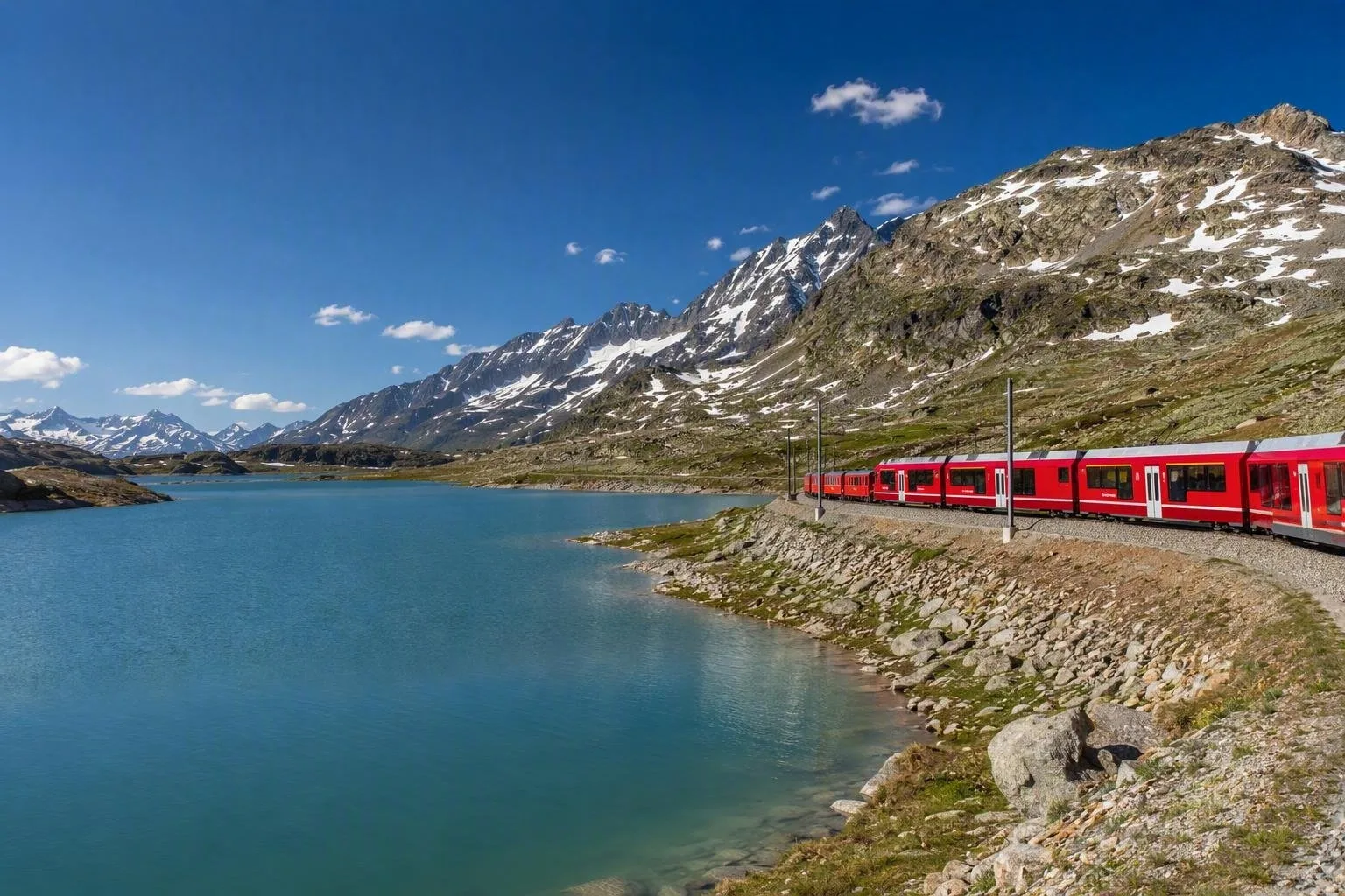
The pass lies on a watershed. Lej Nair drains north towards the Inn, while Lago Bianco drains south through the Poschiavo valley towards the Po basin. Lago Bianco is a reservoir, held by dams at either end, and occupies the centre of the pass landscape.
The road summit lies east of the lake. The railway follows a different alignment, arriving at Ospizio Bernina on Lago Bianco’s shore before dropping south towards Alp Grüm and Poschiavo. Do not assume the road summit and railway high point are the same place.
Bernina railway
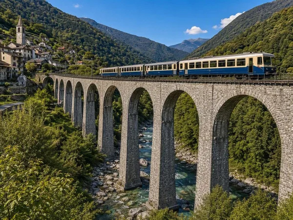
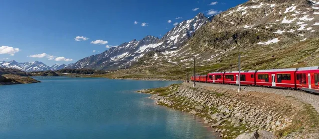
The Bernina line is the defining piece of infrastructure here. It crosses the pass in the open rather than through a summit tunnel, putting the lake and high mountain terrain directly outside the carriage windows. Ospizio Bernina is the highest point on the line and the practical rail stop for the pass plateau.
For the clearest sense of the landscape, use the train as transport rather than treating the pass as a quick photo stop. The southbound descent from Ospizio Bernina reveals the shift from reservoir plateau to Val Poschiavo.
On foot and by road
Marked walking routes start around Ospizio Bernina. A level-ish lakeside circuit around Lago Bianco is the straightforward choice; routes towards Alp Grüm or the surrounding summits require more time, elevation gain and proper mountain equipment.
By car or bicycle, the Bernina road connects Pontresina with Poschiavo. The southern side is the sharper descent. Use designated parking and keep clear of railway property; the pass is an active road-and-rail environment, not open trackside terrain.
Weather and winter access
The road is maintained year-round, an exception at this altitude, but that does not make conditions mild. Snow, ice, wind and sudden restrictions are normal in winter; winter equipment is required, and chains or temporary closures can be imposed.
Summer brings the easiest walking conditions, though weather can turn quickly on the exposed plateau. Carry warm and waterproof layers even on a short stop, and allow extra time when combining a walk with rail travel.
From the magazine
Stories about Bernina Pass
Editorial stories linked directly to Bernina Pass.
Routes from our editors
Travel through Bernina Pass
Editorial routes connecting Bernina Pass with other countries, cities and hotspots.
No routes through Bernina Pass have been published yet.
More in Switzerland
Related hotspots
Other cities, nature areas and places within Switzerland.