
Region · Switzerland
Berner Oberland
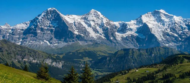
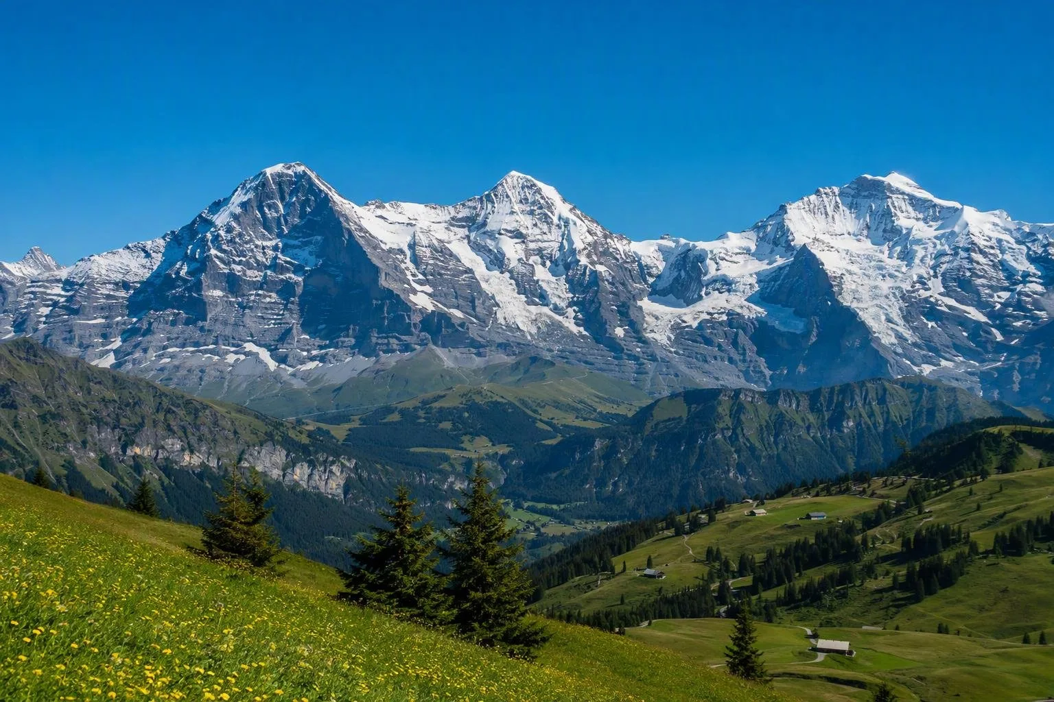
The Bernese Oberland is Switzerland’s alpine region southwest of Bern, built around Lake Thun, Lake Brienz, Interlaken and the Eiger–Mönch–Jungfrau massif. It combines lake travel, mountain railways, high valleys and major hiking and snow-sports areas.
Orientation
The Berner Oberland spreads across the high, southern part of the canton of Bern. Its working geography is straightforward: Lake Thun and Lake Brienz frame Interlaken, while valleys lead south and east toward Grindelwald, Lauterbrunnen, Kandersteg, Meiringen and the high Alps. The Eiger, Mönch and Jungfrau are the region’s defining skyline.
Choose a base by priority. Interlaken is the most useful transport hub for mixed itineraries. Grindelwald and Lauterbrunnen put you closer to the Jungfrau area; Kandersteg works well for the Oeschinen and Kandertal side; Thun suits lake-focused stays.
The essential landscapes
The region is too large to treat as a single day trip. Build a visit around one landscape or valley, then add a second only when the connections make sense.
- Lakes Thun and Brienz: travel by boat for a low-effort way to see steep slopes, lakeside settlements and the Alpine backdrop. Lake Brienz is known for its vivid turquoise water; Giessbach Falls drops toward its shore.
- Jungfrau area: Grindelwald, Lauterbrunnen, Wengen and Mürren give access to mountain railways, cable cars and high walking terrain. Lauterbrunnen Valley is noted for its many waterfalls; Grindelwald sits below the Eiger.
- Kandertal and Simmental: use these valleys for Lake Oeschinen, Blausee, Adelboden/Lenk and quieter village-to-mountain routes.
- High viewpoints: Jungfraujoch and Schilthorn are major high-altitude excursions; Harder above Interlaken gives a quicker view over both lakes.
Moving through the region
Rail, bus, boat and mountain transport are integral to the Berner Oberland rather than add-ons. Interlaken connects the lake corridors with the Jungfrau rail network; Thun is the northern rail-and-lake gateway. Some mountain villages, including Wengen and Mürren, are car-free, so plan to arrive by rail or cableway.
A Regional-Pass Berner Oberland covers specified trains, buses, lake boats and many mountain lines for consecutive multi-day use. It is useful only if your intended routes fall within its validity area and you will make several paid journeys. Mountain railways and lake services can run on seasonal schedules; check the operating day before committing to a valley-to-summit plan.
Walking, snow and conditions
Summer is for signed hiking networks, lake paths and high excursions; winter concentrates activity in the ski areas around Adelboden/Lenk, Grindelwald/Wengen and Gstaad/Zweisimmen. Elevation changes conditions quickly. A clear lakeside forecast does not guarantee visibility, dry trails or open lifts higher up. Carry layers and select marked routes that match your ability.
What to eat
Look for Berner Alpkäse AOP, a full-fat hard cheese made from raw alpine milk during the summer grazing season. Longer-aged wheels become Berner Hobelkäse AOP, an extra-hard cheese shaved into fine curls. It is a direct taste of the region’s alpine pasture economy, not a generic souvenir.
From the magazine
Stories about Berner Oberland
Editorial stories linked directly to Berner Oberland.
No stories about Berner Oberland have been published yet.
Routes from our editors
Travel through Berner Oberland
Editorial routes connecting Berner Oberland with other countries, cities and hotspots.
No routes through Berner Oberland have been published yet.
More in Switzerland
Related hotspots
Other cities, nature areas and places within Switzerland.
Bern
2 linked stories and routes
Centovalli
1 linked stories and routes
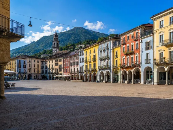
Locarno
1 linked stories and routes
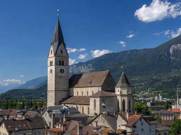
Chur, Graubünden
1 linked stories and routes
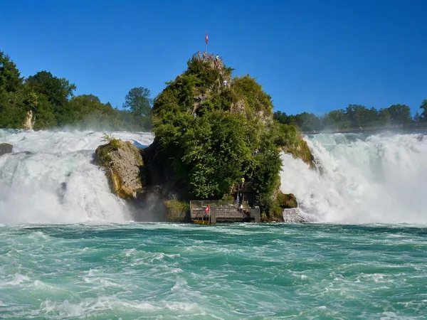
Rhine Falls
1 linked stories and routes
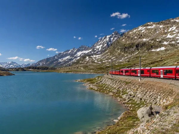
Bernina Pass
1 linked stories and routes
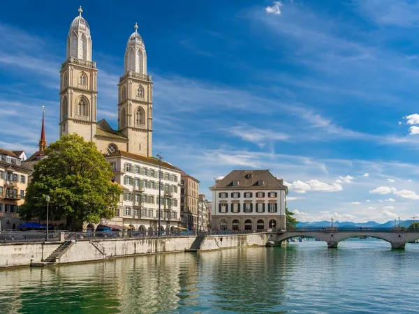
Zürich
1 linked stories and routes
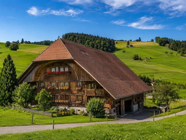
Emmental
1 linked stories and routes
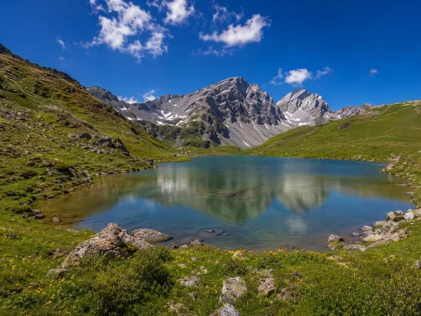
Diemtigtal
1 linked stories and routes
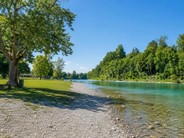
Eichholz
1 linked stories and routes
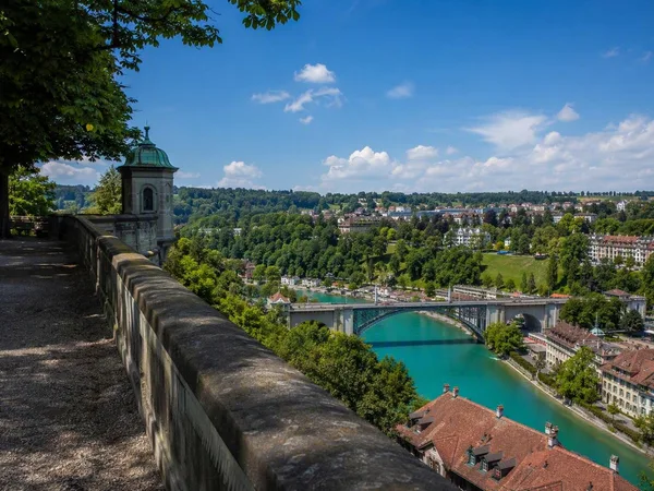
Minster Terrace (Münsterplattform)
1 linked stories and routes
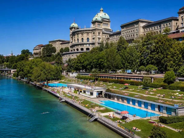
Marzili
1 linked stories and routes
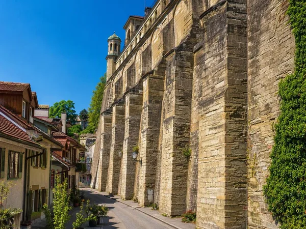
Matte, Bern
1 linked stories and routes
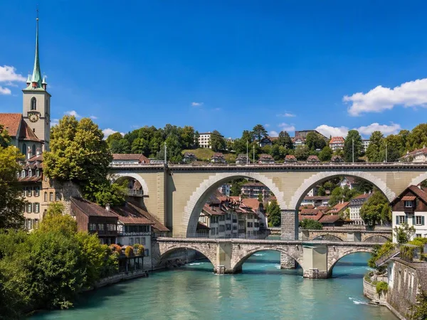
Nydegg, Bern
1 linked stories and routes
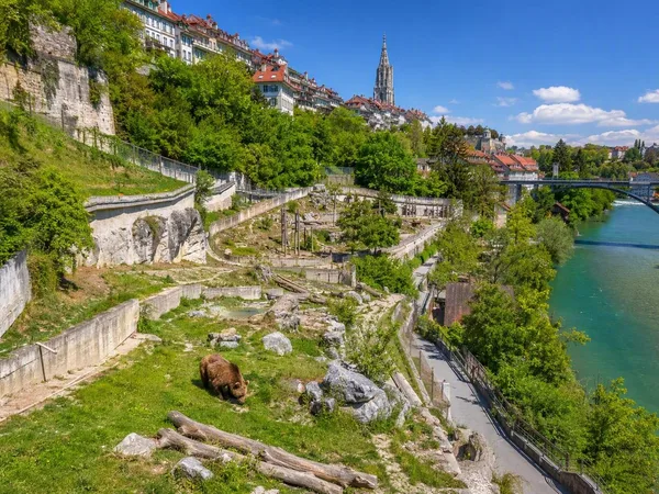
BärenPark, Bern
1 linked stories and routes