
Mountain · Hungary
Gellért Hill
Gellért Hill is the 235-metre Buda-side height above the Danube in Budapest, crowned by the Citadella and Liberty Statue. Its paths, monuments and lookout terraces show the river, bridges and the flat expanse of Pest in one sweep.
Why the hill matters
Gellért Hill rises directly above the Buda bank of the Danube, between Elisabeth Bridge and Liberty Bridge. It is a defining break in Budapest’s otherwise urban fabric: a steep, rocky hill with wooded paths, thermal springs beneath it and a summit built for command of the city.
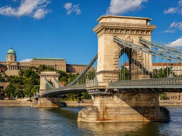
The hill forms part of Budapest’s UNESCO-listed Danube panorama. From its eastern side, the view reads clearly: the river below, the bridges crossing it, Buda Castle to the north and Pest’s low, dense street grid on the far bank.
Citadella and Liberty Statue
At the summit stands the Citadella, the long stone fortress begun in 1850 after the defeated Hungarian Revolution of 1848–49. It was built by the Habsburg military on the city’s highest strategic ground; its scale makes its original message clear even without entering.
Beside it, the Liberty Statue is the hill’s unmistakable silhouette. The 14-metre bronze figure, holding a palm branch overhead, was erected in 1947. Its Soviet-era dedication was later changed, but the monument remains inseparable from Budapest’s skyline.
Walk the fortress perimeter rather than stopping at the first terrace. Different sections frame Elisabeth Bridge, Liberty Bridge, Castle Hill and the Parliament across the Danube. Outdoor grounds and viewpoints are the essential visit; the Citadella’s indoor historical exhibition is a separate, ticketed component.
The lower slopes
The hill is more than its summit. On the Danube-facing side, St Ivan’s Cave contains the Cave Church, created by enlarging a partly natural cave into a chapel for the Pauline order. It is an active religious space, so treat it as a church rather than a scenic interior.
Elsewhere, paths pass St Gellért Falls and the Garden of Philosophers, where sculptures of Buddha, Gandhi and Jesus stand among the trees. These stops make the hill worth crossing rather than simply climbing and returning by the same route.
Getting up and around
Start from Szent Gellért tér at the southern foot, served by metro line M4 and several trams. Paths rise behind the riverside buildings towards the Cave Church, terraces and summit. From the Elisabeth Bridge end, the northern approach climbs past the monument to St Gellért.
Allow roughly 25 minutes uphill from the river, plus time for stops. The ascent includes sustained gradients, stairs and uneven paving; wear shoes with grip and carry water in warm weather. The summit is exposed, so it can feel markedly windier than the embankment.
Timing the view
Go early for clearer paths and a more deliberate look at the city’s layout. Late afternoon gives the strongest light across the Pest bank, but the main terraces become crowded near sunset. If descending after dark, use the main lit routes rather than the smaller wooded paths.
From the magazine
Stories about Gellért Hill
Editorial stories linked directly to Gellért Hill.
No stories about Gellért Hill have been published yet.
Routes from our editors
Travel through Gellért Hill
Editorial routes connecting Gellért Hill with other countries, cities and hotspots.
No routes through Gellért Hill have been published yet.
More in Hungary
Related hotspots
Other cities, nature areas and places within Hungary.