
Neighbourhood · Denmark
Islands Brygge
Islands Brygge is a former industrial harbour neighbourhood on the north-west edge of Amager, across Copenhagen Harbour from the city centre. Its waterfront park and harbour bath make the quay the district’s essential stop.
Orientation
Islands Brygge runs along Copenhagen Harbour on Amager’s north-western shore. The neighbourhood changed from working dockland to housing, public space and waterside recreation, but its industrial past still shapes the waterfront. Havneparken is the key stretch: a long, open harbourfront park beside the older residential streets.
The waterfront is the right place to start. It puts the harbour, park, cultural centre and public bath in one compact walk; the rest of the district spreads east and south from there.
Havneparken and the harbour edge
Havneparken was formed from former quays and storage ground. Look down as you walk: disused railway tracks, rough paving and fragments of old industrial structures remain part of the park’s design. Broad lawns and low concrete edges provide places to sit without turning the waterfront into a formal promenade.
Kulturhuset Islands Brygge sits beside the water in the park. Its programme changes through the year, while the surrounding quay is useful at any time for a harbour walk. Continue along the edge to see how former industrial plots have been recast as apartments and public space.
Harbour Bath
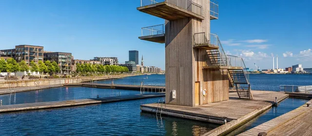
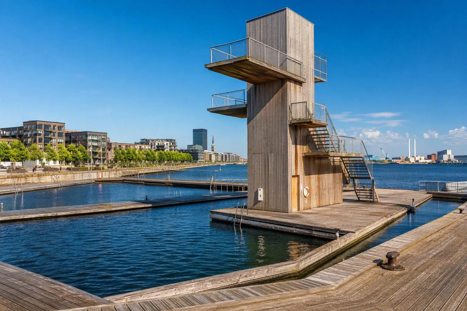
The defining landmark is Havnebadet Islands Brygge, at Islands Brygge 14. This is a proper harbour-water swimming facility, not an informal jump from the quay. Timber decks enclose four separate pools:
- Exercise pool: 75 metres long and 3 metres deep.
- Diving pool: 5 metres deep, with 1-, 3- and 5-metre platforms.
- Play pool: 1.2 metres deep.
- Toddler pool: a sloping floor, from 0.1 to 0.7 metres.
The bath opened in 2002 and remains the neighbourhood’s clearest expression of Copenhagen’s reclaimed harbour. Toilets are on the quay; freshwater showers operate in the summer season. Admission is free.
Getting there and getting around
Take the M1 metro to Islands Brygge station, then walk about 12 minutes to the harbour bath. The station is underground and has a lift. On foot or by bicycle, approach from the city centre via Langebro, or use the harbourfront route once you arrive.
The area is flat and best covered on foot. Allow time to walk the park rather than treating the bath as an isolated attraction. The water-facing route gives the clearest view of the district’s transition from dockland to neighbourhood.
Swimming rules and timing
The harbour bath is open daily, year-round, from 06:00 to 22:00. Lifeguards are present from 1 June to 31 August, 10:00–18:00. Outside those hours, swimming is at your own responsibility.
Important: swim only inside the harbour bath or an established bathing zone. Water quality can be affected after intense rain; follow the on-site warning light, flags and any closure notice. The diving pool is deep, but the platforms require deliberate use—keep children in their designated pools and follow lifeguard directions.
From the magazine
Stories about Islands Brygge
Editorial stories linked directly to Islands Brygge.
No stories about Islands Brygge have been published yet.
Routes from our editors
Travel through Islands Brygge
Editorial routes connecting Islands Brygge with other countries, cities and hotspots.
No routes through Islands Brygge have been published yet.
More in Denmark
Related hotspots
Other cities, nature areas and places within Denmark.
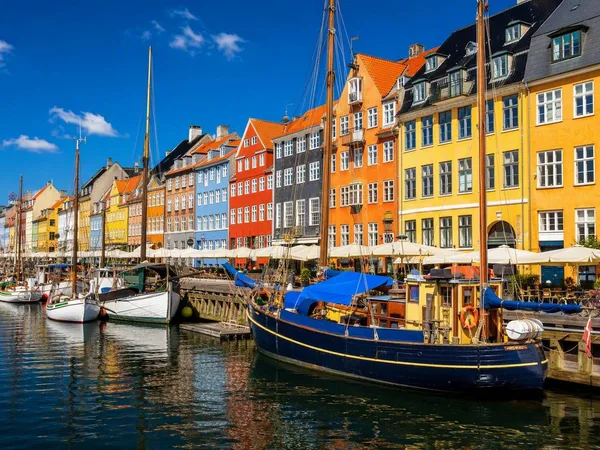
Copenhagen
4 linked stories and routes
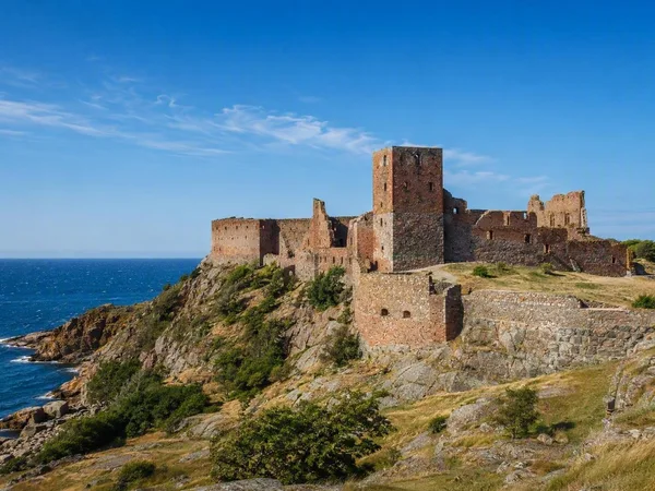
Bornholm
2 linked stories and routes
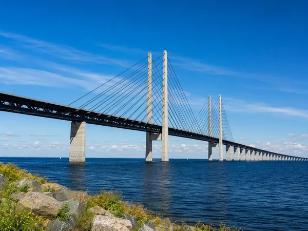
Øresund Bridge
1 linked stories and routes
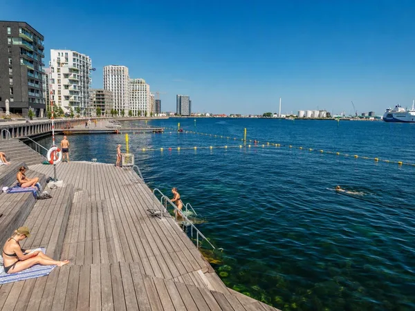
Sandkaj Swimming Zone
1 linked stories and routes
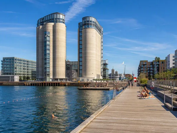
Nordhavn
1 linked stories and routes
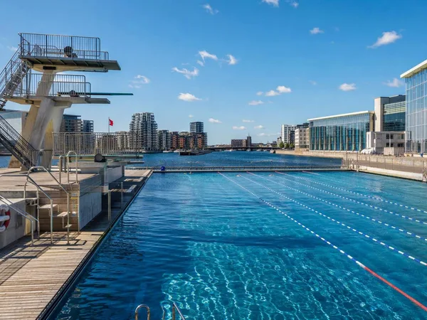
Fisketorvet Harbour Bath
1 linked stories and routes