Sight · Austria
Grossglockner Hochalpenstrasse
The Grossglockner High Alpine Road is a 48-kilometre toll road through Hohe Tauern National Park, linking Fusch in Salzburg with Heiligenblut in Carinthia. Its 36 hairpins, high passes and spur roads make the drive itself the destination.
The route at a glance
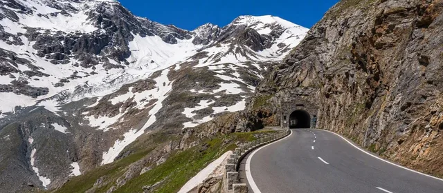
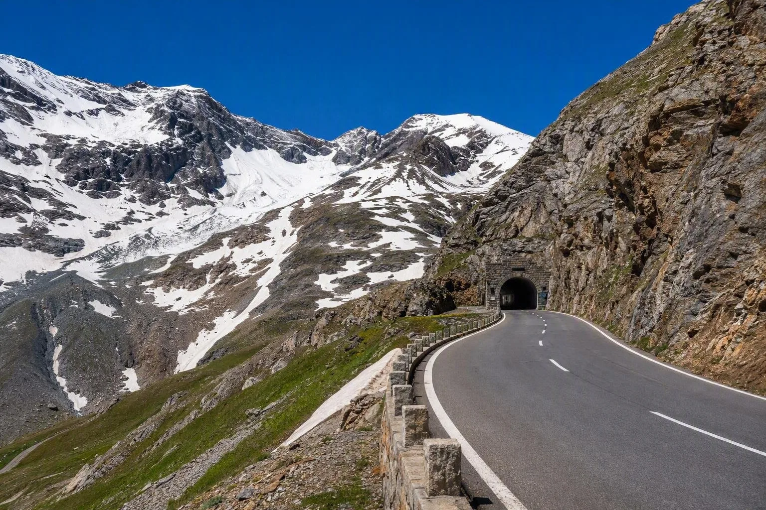
This high-alpine road runs from Fusch an der Großglocknerstraße to Heiligenblut am Großglockner, crossing the Salzburg–Carinthia border at the Hochtor tunnel. The main route is 48 kilometres long, has 36 hairpins and reaches the Hochtor at 2,504 metres; gradients reach 12%.
It was built in the 1930s and opened in 1935. The road is a protected monument, but it remains a working mountain road: drive for the changing terrain, not simply to cross the Alps.
North to south: the essential stops
From the north, the road rises from forest and pasture above Ferleiten into the treeless high Alps.
- Fuscher Törl (2,428m): a broad high point with the first major outlook towards the Glockner group.
- Edelweißspitze (2,571m): take the short cobbled spur from Fuscher Törl for the road's highest drivable point and a panorama of more than 30 peaks above 3,000 metres.
- Hochtor (2,504m): the tunnel crosses the provincial border. A short historic trail begins here.
- Kaiser-Franz-Josefs-Höhe (2,369m): follow the southern spur road to the visitor centre and the direct overlook of the Großglockner and Pasterze Glacier.
Fuscher Lacke, a small mountain lake below the passes, is a useful quieter stop between the bigger viewpoints.
Make time for the side roads
The Kaiser-Franz-Josefs-Höhe is not on the through route; treat it as a deliberate detour rather than an optional roadside stop. Its visitor centre includes exhibitions on the mountain environment, glaciers and the road. The Gamsgrubenweg begins here and follows a panoramic line above the Pasterze; conditions and accessible sections can change.
The Edelweißspitze spur is steep, narrow and paved with cobbles. Larger vehicles should use the main road rather than assume every branch is suitable.
Access, season and driving
A toll applies to motor vehicles. A day ticket covers the road's exhibitions and themed walking trails, allowing you to stop and retrace sections without buying another ticket.
The road normally opens from early May to early November and closes for winter; snow and mountain weather determine the exact dates and daily gate times. Entry closes before the evening barrier shuts. Build in time for stops and return to a toll gate well before closing.
This is high-altitude driving, not a fast transit route. Expect tight bends, sharp changes in weather and temperatures far below those in the valleys. Use designated parking areas, keep speed low on descents and bring a warm, waterproof layer even on a clear summer day.
From the magazine
Stories about Grossglockner Hochalpenstrasse
Editorial stories linked directly to Grossglockner Hochalpenstrasse.
Routes from our editors
Travel through Grossglockner Hochalpenstrasse
Editorial routes connecting Grossglockner Hochalpenstrasse with other countries, cities and hotspots.
No routes through Grossglockner Hochalpenstrasse have been published yet.
More in Austria
Related hotspots
Other cities, nature areas and places within Austria.