Region · Lebanon
Chouf, Mount Lebanon
Chouf is a historic mountain region and administrative district southeast of Beirut, in Lebanon’s Mount Lebanon Governorate. It runs from the coast inland through stone villages, former emirate centres and the cedar country of Barouk.
Orientation
Chouf is a wide mountain district rather than a single town. Its administrative centre is Beiteddine, while the visitor landscape runs from the coast near Damour up through terraced valleys to the high ridges around Barouk, Maasser el Chouf and Ain Zhalta. Give the area time: its heritage sites and cedar forests are separate stops linked by winding mountain roads.
The region has long been central to Mount Lebanon’s political history and remains strongly associated with Druze culture alongside Christian and Muslim communities. Its mountain pantry is equally enduring: look for local preserves, olive oil, honey, dried herbs and kishk, the dried fermented-yoghurt and bulgur mixture used in warming soups and breakfasts.
Heritage core: Beiteddine and Deir el-Qamar
Base a cultural day around the closely spaced towns of Beiteddine and Deir el-Qamar.
- Beiteddine Palace was built for Emir Bashir Shihab II between 1788 and 1818. Walk its successive courtyards, carved interiors and hammam, then find the Byzantine mosaics displayed in the former vaulted stables. Parts of the complex can be unavailable when it is in official or cultural use.
- Deir el-Qamar was the earlier capital of the Mount Lebanon emirate. Its compact centre is best explored on foot: the Midane square, stone lanes, mosque, churches and old houses show why this is the Chouf’s essential historic town.
These stops work well together; allow unhurried time for each rather than treating the district as a drive-through.
Cedar country and walking
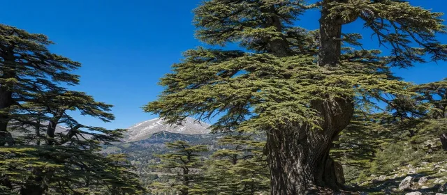
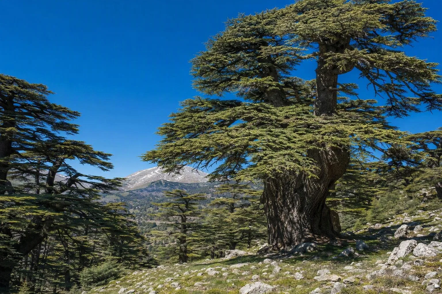
The high Chouf is defined by the Shouf Biosphere Reserve, designated in 2005. Its core cedar reserve protects major Lebanon cedar stands and forms part of a much larger mountain landscape overlooking the Bekaa Valley to the east and the Chouf Valley to the west.
Choose an entrance before leaving: Maasser, Barouk and Ain Zhalta/Bmohray each lead to different cedar forests and trails. Maasser has short self-guided walks among old trees; Barouk gives access to a broad cedar forest and longer hiking options. Visitor facilities are available at the main gates, but distances and ascent vary sharply between routes.
Important: stay on marked paths and leave plants, cones and wood where they are. Snow and mountain weather can affect high roads and trails in winter.
Getting around and timing
From Beirut, the practical approach is south on the coastal highway to Damour, then inland through Kfarhim toward Deir el-Qamar and Beiteddine. The reserve’s main entrances lie farther into the mountains; from Beiteddine, they are roughly 15–24 km away depending on the gate.
A car, hired driver or organised transport is the realistic way to cover Chouf. Public transport does not connect its villages and trailheads reliably. Spring to autumn suits cedar walks; carry water, firm shoes and a warm layer, as the high ground is markedly cooler than the coast. Reserve a full day for either a heritage circuit or a proper forest walk; doing both in detail is better spread over two days.
From the magazine
Stories about Chouf, Mount Lebanon
Editorial stories linked directly to Chouf, Mount Lebanon.
No stories about Chouf, Mount Lebanon have been published yet.
Routes from our editors
Travel through Chouf, Mount Lebanon
Editorial routes connecting Chouf, Mount Lebanon with other countries, cities and hotspots.
No routes through Chouf, Mount Lebanon have been published yet.
More in Lebanon
Related hotspots
Other cities, nature areas and places within Lebanon.