Mountain · Romania
Făgăraș Mountains
The Făgăraș Mountains are the highest range of Romania’s Southern Carpathians, running between Transylvania and Wallachia. Their high ridge holds Moldoveanu, Romania’s 2,544-metre summit, plus glacial lakes, steep valleys and the Transfăgărășan road.
The range at a glance
The Făgăraș Mountains form a long, high spine in central Romania. The northern face drops sharply toward the Făgăraș Depression and the Olt Valley; southern ridges run longer and more gradually toward Argeș. This contrast matters on foot: northern approaches tend to be steeper, while southern valleys make longer approaches.
Moldoveanu is the range’s high point and Romania’s highest summit at 2,544 metres. Negoiu (2,535m) and Viștea Mare (2,527m) are close behind. Expect a serious mountain landscape rather than a resort-style summit circuit.
Lakes, ridges and road access
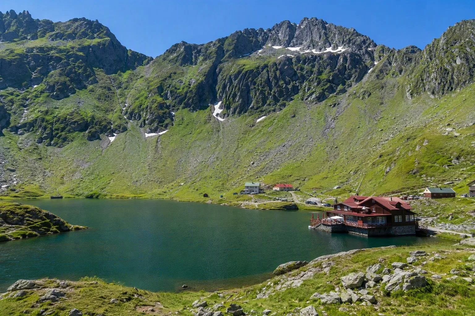
Bâlea Lake is the range’s best-known high-mountain stop: a glacial lake set beneath a rocky basin. It is part of the Bâlea alpine reserve and makes a practical place to see the terrain without committing to a long ridge traverse.
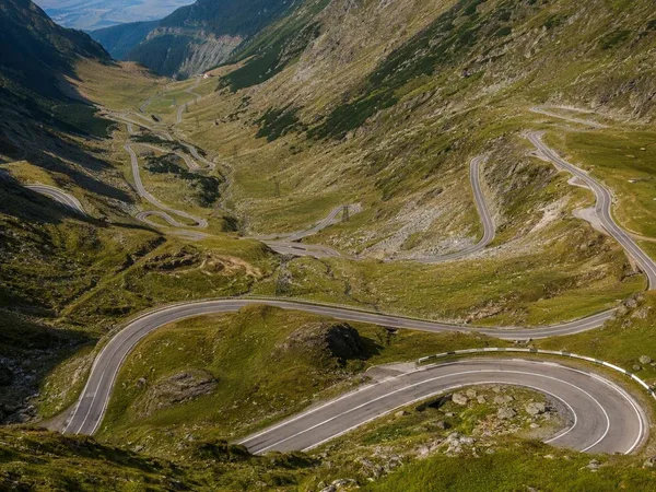
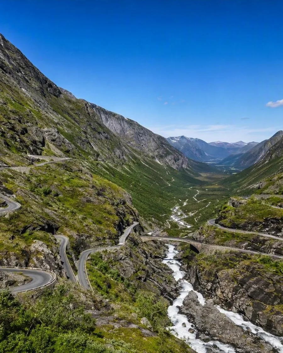
The Transfăgărășan (DN7C) crosses the north–south axis of the range, linking the Wallachian and Transylvanian sides. Its Bâlea Lake tunnel reaches 2,042 metres. The road gives access to high ground, but it is not a substitute for mountain travel: the main crest, summit routes and glacial valleys remain hiking terrain.
Hiking the high ground
Use marked trails and choose an objective that matches your fitness, navigation and exposure tolerance. The ridge links high passes, rocky peaks and alpine basins; it rewards multi-day walkers but is not a casual promenade.
Useful starting areas include:
- Bâlea Lake: direct access to central high terrain and ridge walks.
- Victoria and the northern valleys: approaches toward Moldoveanu via the Viștea or Podragu side.
- Stâna lui Burnei and Valea Rea: a southern approach toward Moldoveanu.
The final ground near major summits can be rocky and exposed. Allow for a full mountain day even on routes that appear short on a map.
Timing and mountain conditions
Summer is the straightforward season for hiking, although snow can persist on high slopes and storms can build quickly. Start early when heading above the tree line, where shelter is limited and visibility can disappear in cloud.
The Transfăgărășan’s high section is generally open only from June to September because of winter conditions. Outside that period, do not plan a cross-range drive via Bâlea Lake.
Essentials
Carry waterproof layers, warm clothing, food, water, a paper map or offline navigation and a headlamp. Turn back rather than press on in thunderstorms, strong wind, snow or poor visibility. In winter, the range has avalanche terrain and requires proper winter-mountaineering judgement and equipment.
From the magazine
Stories about Făgăraș Mountains
Editorial stories linked directly to Făgăraș Mountains.
Routes from our editors
Travel through Făgăraș Mountains
Editorial routes connecting Făgăraș Mountains with other countries, cities and hotspots.
No routes through Făgăraș Mountains have been published yet.
More in Romania
Related hotspots
Other cities, nature areas and places within Romania.