
Town · Belgium
Ixelles
Ixelles is a bilingual Brussels municipality southeast of the city centre, known for its ponds, Flagey’s former radio house, architecture and distinct urban quarters.
Get your bearings
Ixelles sits immediately southeast of central Brussels and is one of the capital region’s 19 municipalities. It is not a compact historic core: its character shifts sharply between the commercial Chaussée d’Ixelles, the ponds and Flagey, university areas, and residential streets with late-19th- and 20th-century architecture.
Use the French name Ixelles and Dutch Elsene interchangeably. Both are official. Place Eugène Flagey is the most useful starting point for a first visit: it joins public transport, cafés, the cultural centre and the northern tip of the ponds.
Flagey and the ponds
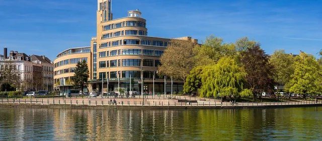
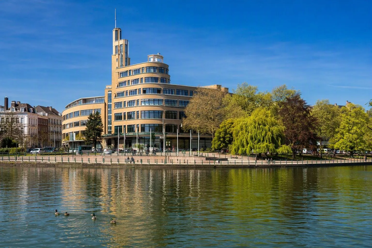
Start at Flagey’s former national radio building on Place Sainte-Croix. Designed by Joseph Diongre in 1935, its long, rounded modernist form earned it the nickname “steamship”. It now hosts concerts, cinema and other cultural programming.
From the square, follow the water south along the Ixelles Ponds. These two protected ponds are survivors of the Maelbeek valley’s former water landscape; the surrounding setting was laid out during 19th-century urbanisation. The route is short but gives a clear view of the municipality’s architectural range:
- Art Nouveau and Art Deco houses around the water;
- the Church of the Holy Cross at the northern pond;
- views towards the gardens of La Cambre Abbey.
A traffic-calming scheme has made Avenue Général de Gaulle a dead end between Flagey and Square du Souvenir, and parking is prohibited along both ponds. Walk or cycle the pond edge rather than using it as a driving route.
Streets and neighbourhoods
For shops and everyday city life, work north from Flagey along Chaussée d’Ixelles. Around Porte de Namur, Matongé is a long-established Congolese and African commercial district. It is part of the municipality’s working fabric, not a themed attraction: go for food shops, salons and restaurants, and keep the pace of a normal shopping street.
West of the main commercial spine, the Châtelain–Bailli area is useful for independent food shops, bookshops and galleries. South and east, Ixelles also contains major university campuses, so cafés and low-key eateries cluster around student routes.
Practical access
Public transport is the efficient choice. The municipality hall at Place Fernand Cocq is served by buses 54 and 71; Flagey is a major local interchange. On foot, combine Flagey, the ponds and nearby architectural streets rather than trying to cover all of Ixelles in one circuit.
Driving requires more care. Ixelles lies inside Brussels’ Low Emission Zone, so cars and vans must meet its entry conditions. Paid parking exists, but the streets around the busiest quarters are not designed for easy casual parking.
Best timing
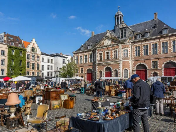
The Flagey square market runs on Saturday and Sunday mornings, from 08:00 to 14:30. Go then for the square at its most active; choose a weekday for a quieter pond walk and time at the architecture. Check Flagey’s programme only if you want to build an evening around a specific concert or film.
From the magazine
Stories about Ixelles
Editorial stories linked directly to Ixelles.
No stories about Ixelles have been published yet.
Routes from our editors
Travel through Ixelles
Editorial routes connecting Ixelles with other countries, cities and hotspots.
No routes through Ixelles have been published yet.
More in Belgium
Related hotspots
Other cities, nature areas and places within Belgium.
Brussels
4 linked stories and routes
Bruges
1 linked stories and routes
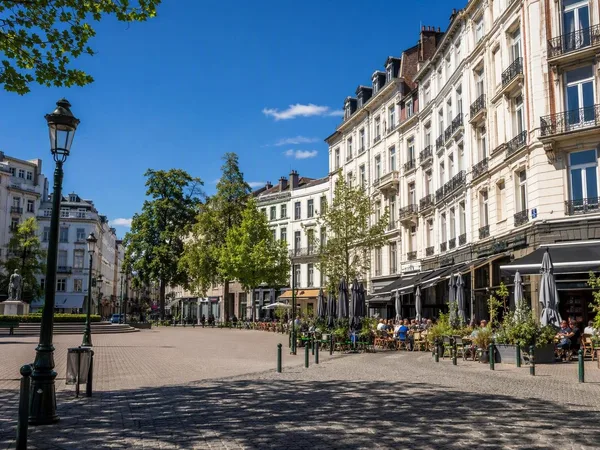
Etterbeek
1 linked stories and routes
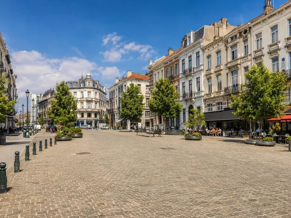
Jourdan Square
1 linked stories and routes
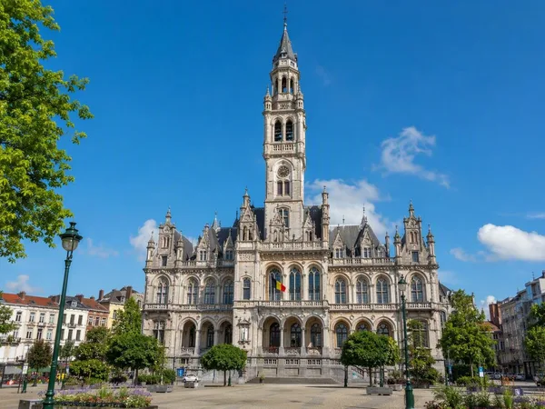
Saint-Gilles, Brussels
1 linked stories and routes
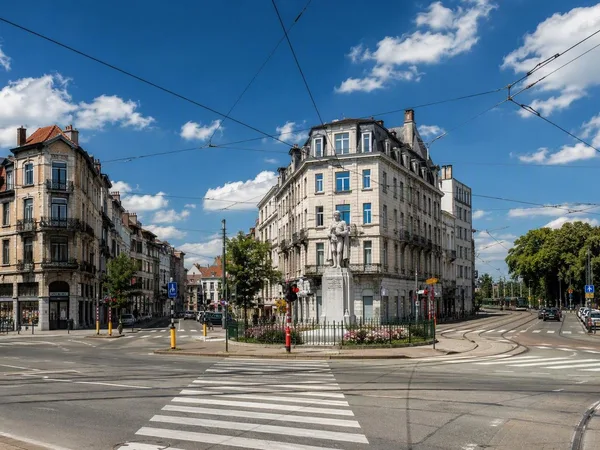
Barrière de Saint-Gilles
1 linked stories and routes
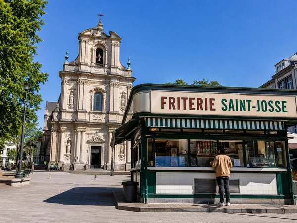
Sint-Joostplein, Brussels
1 linked stories and routes
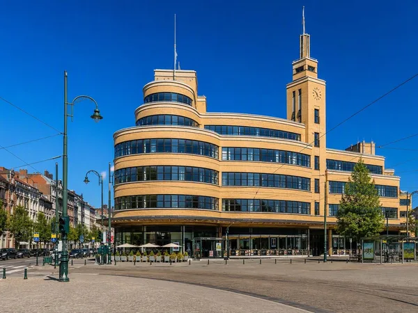
Eugène Flagey Square
1 linked stories and routes
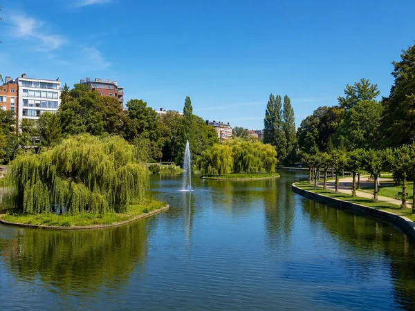
Ixelles Ponds
1 linked stories and routes
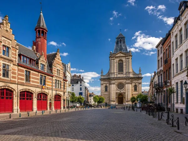
Marolles
1 linked stories and routes
Vossenplein (Place du Jeu de Balle)
1 linked stories and routes