Guatemala

Volcanoes, Maya towns and rainforest

Guatemala

In Guatemala, Maya history remains visible in ancient cities, living languages and highland markets beneath volcanic peaks.

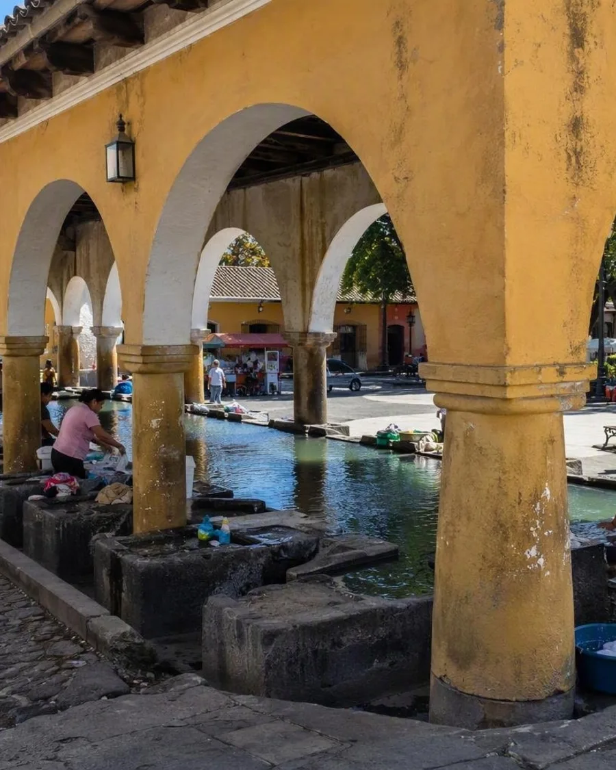
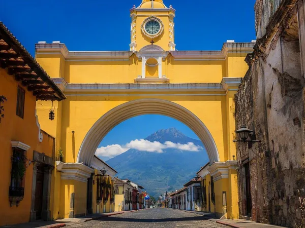
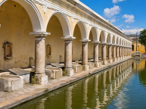
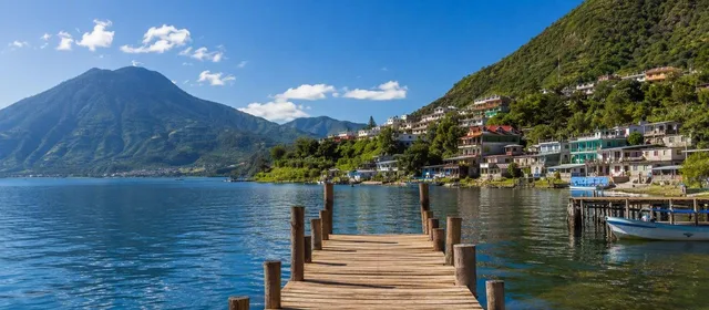
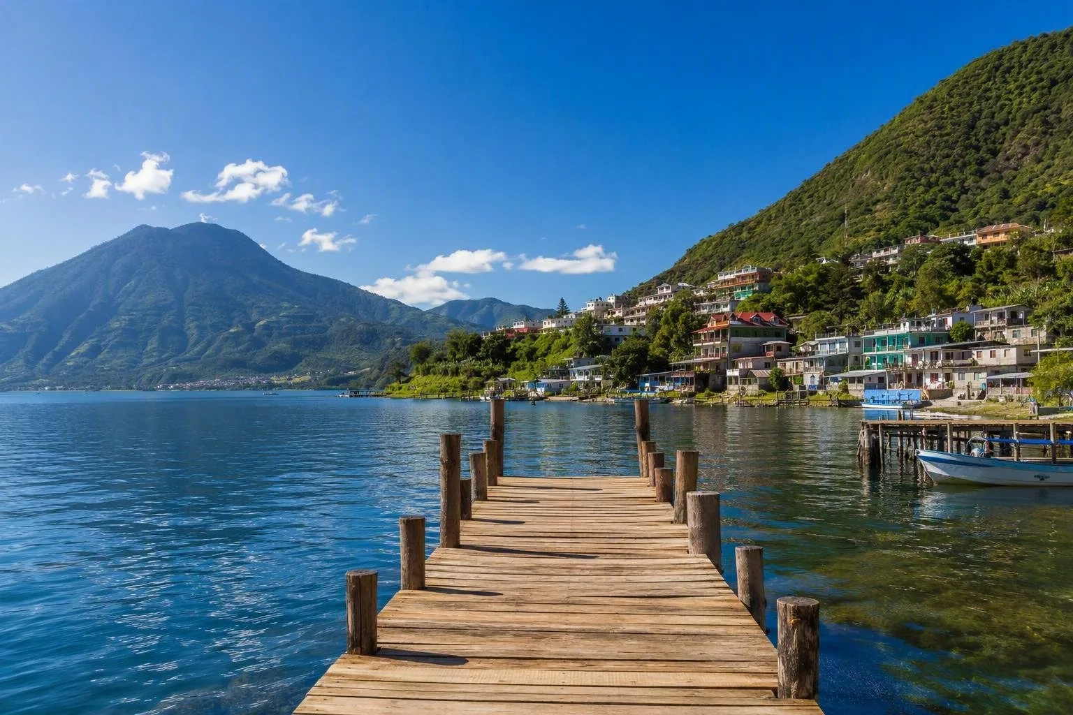
Guatemala gives you far more than a quick view of volcanoes and Maya ruins. At Lake Atitlán, boats run between towns beneath steep volcanic slopes. Residents speak Tz’utujil or Kaqchikel, weave bright textiles and grow coffee on the hillsides. Nearby, Antigua pairs baroque church façades with convent ruins left by the earthquakes that ended its time as the Spanish colonial capital. Across the western highlands, many communities keep their own languages, dress and religious practices alongside the daily traffic of buses, phones and family ties abroad.

North of the highlands, Tikal spreads through the forest of Petén. Stone temples stand above the canopy, broad causeways join plazas, and carved stelae name rulers from more than a thousand years ago. Howler monkeys and ocellated turkeys pass through the clearings around the site.

The Río Dulce takes a different course through rainforest, past the Castillo de San Felipe and out to Livingston on the Caribbean coast. Garifuna cooks prepare tapado with coconut, seafood and plantain, far from the maize-based tamales and hearty stews of the highlands. In Chichicastenango, traders spread huipiles, fruit, pottery and household goods through streets around Santo Tomás Church. Incense burns on the church steps, and Maya ceremonies take place at nearby Pascual Abaj. Stay a little longer, eat in local kitchens and spend time in the towns between the headline sights.

When to go

Best time to travel

Monthly values are indicative average maximum temperatures for Guatemala City. The coast and Petén are generally hotter and more humid, while highland elevations are cooler and rainfall patterns vary by region. Monthly values are indicative average maximum temperatures for Guatemala City. The coast and Petén are generally hotter and more humid, while highland elevations are cooler and rainfall patterns vary by region.

jan24°C feb25°C mar26°C apr27°C may26°C jun25°C jul25°C aug25°C sep24°C oct24°C nov24°C dec24°C

Weather in the capital

Practical Guatemala

On every country page we show the current weather for the capital.

Guatemala City
Morning24°Cpartly cloudy
Afternoon30°Cdrizzle
Evening24°Cpartly cloudy
today30°C / 21°Chigh and low

Current forecast by Open-Meteo

Getting around

Intercity buses connect most towns, while shared tourist shuttles link Antigua, Lake Atitlán, Cobán and Flores. Curving mountain roads and steep gradients often lengthen travel times. Boats provide essential local links around Lake Atitlán and the Río Dulce.

Money

The quetzal is the local currency. Cash is useful in markets, villages and on buses. Larger hotels, restaurants and shops more often accept cards, and cities and established visitor centres have ATMs.

Accommodation

You can find family-run guesthouses and hostels, as well as city hotels, jungle lodges and lakeside stays. Book ahead in Antigua and around Lake Atitlán during Holy Week, Christmas and New Year.

Before you leave

Worth knowing

A practical starting point for your trip. Check current conditions and local information before you leave.

01

International calling code

Guatemala’s international calling code is +502.

02

Driving side

Traffic drives on the right.

03

Official and Indigenous languages

Spanish is official. The National Languages Law names 22 Mayan languages, Xinka and Garifuna as national languages.

04

Tipping customs

Some restaurants add a service charge. If they do not, a tip of about 10% is customary for table service.

05

Daily meal rhythm

Breakfast is usually early, and lunch around 1 pm is often the main meal. Dinner commonly starts from 7 pm.

06

Typical business hours

Offices and banks generally open on weekdays from about 8 or 9 am to 4 or 5 pm. Many shops open on Saturday and close earlier on Sunday.

07

Paying public transport fares

Local and intercity buses usually collect cash on board. Carry small notes and coins, and ask the fare before boarding when it is not displayed.

08

Road distances and measurements

Road distances and speed limits use kilometres. Fuel is commonly sold by the US gallon.

09

Mobile connectivity

Claro and Tigo run the main mobile networks. Authorised shops sell prepaid SIM cards, and identification may be required. Coverage is less consistent in remote mountain and forest areas.

10

Urban address zones

Guatemala City addresses include a numbered zone, or zona, along with the street or avenue. The zone is essential because street names and numbers repeat across the city.

11

Market bargaining etiquette

Polite bargaining is common at handicraft stalls when prices are not marked. Fixed-price shops and everyday food stalls generally leave less room for negotiation.

12

Intercity bus luggage

Staff may place large bags in a luggage compartment or on the roof, depending on the bus. Keep any claim ticket until you collect the bag.

Cities and hotspots

Places worth saving

From city to nature reserve: places with stories, facts and tips.