City · Guatemala
Antigua Guatemala
Antigua Guatemala is a former colonial capital in Guatemala’s Sacatepéquez highlands, built on a compact grid of cobbled streets, churches, convents and earthquake-marked ruins. Its historic centre is a UNESCO World Heritage site.
Get oriented
Antigua Guatemala sits in the Panchoy Valley at roughly 1,530 metres above sea level. The historic core is compact and walkable: use Parque Central as your anchor, with the cathedral on its east side and the Palace of the Captains General opposite.
The city was the capital of the Captaincy-General of Guatemala until the Santa Marta earthquakes of 1773 devastated much of it and the capital moved to present-day Guatemala City. That rupture explains Antigua’s defining mix of active churches, rebuilt façades and roofless monumental ruins.
Read the city on foot
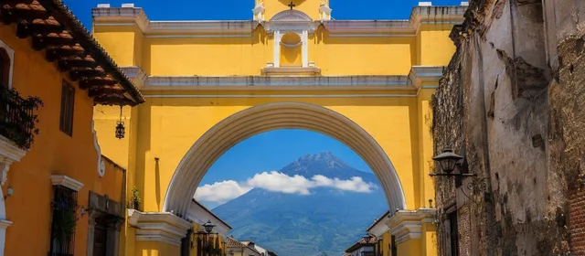
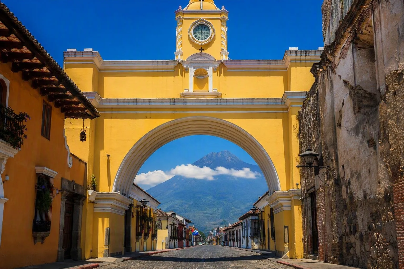
The streets follow a Renaissance-influenced grid, so walking is the right way to understand the place. Start at Parque Central, then head north along 5a Avenida Norte to the Arco de Santa Catalina. The yellow arch was built to link convent buildings; on a clear day, the street view aligns with Volcán de Agua.
Continue to La Merced, whose low, richly stuccoed yellow-and-white façade is a clear example of local Baroque design adapted to an earthquake zone. Return through side streets rather than treating the arch as a single photo stop: courtyards, doorways, churches and ruins are the point of the walk.
Monuments worth entering
Choose a few interiors rather than rushing through every ruin.
- Catedral de San José: the working church faces Parque Central; the larger historic complex behind it retains earthquake-damaged ruins.
- Convento de las Capuchinas: visit for cloisters, courtyards and its distinctive circular tower associated with 18th-century monastic life.
- Santa Clara or La Recolección: these open-air ruins reveal the scale of the former convents and the damage left by earthquakes.
- Museo de Arte Colonial: near the cathedral, in the former University of San Carlos, for colonial religious art and furniture.
Views, timing and practicalities
Walk to Cerro de la Cruz, north of the centre, for the clearest overview of the street grid, tiled roofs and Volcán de Agua. The ascent from the historic centre takes around 20 to 30 minutes. Go in daylight and return before dark; the trail has a history of robberies outside the daytime patrol period.
The dry season, roughly November to April, generally brings clearer skies for volcano views. During Semana Santa, processions and temporary sawdust-and-flower carpets transform central streets; expect altered pedestrian routes and heavier demand for rooms and transport.
Cobbles are uneven and many historic sites have steps or irregular surfaces. Wear shoes with grip. For short trips beyond the walkable core, tuk-tuks and taxis are common; shared shuttles and private transfers connect Antigua with Guatemala City and La Aurora airport.
From the magazine
Stories about Antigua Guatemala
Editorial stories linked directly to Antigua Guatemala.
Routes from our editors
Travel through Antigua Guatemala
Editorial routes connecting Antigua Guatemala with other countries, cities and hotspots.
No routes through Antigua Guatemala have been published yet.
More in Guatemala
Related hotspots
Other cities, nature areas and places within Guatemala.