Mountain · Malaysia
Penang Hill
Penang Hill, also known as Bukit Bendera, is a forested hill range above Air Itam on Penang Island, Malaysia. Its funicular reaches the developed Flagstaff Hill summit for broad views over George Town and the strait.
Orientation
Penang Hill is a group of peaks rather than one summit. Western Hill is the highest point at 833 metres, while Flagstaff Hill (Bukit Bendera) is the visitor hub reached by the funicular. The hill was developed as a colonial hill station and still has heritage bungalows among the forest.
The upper station area is compact enough for a relaxed half-day: take in the views, follow the signed walks and add a paid attraction only if it suits your interests.
The funicular
The practical route up is the Penang Hill Funicular from the Lower Station in Air Itam, at the end of Jalan Stesen Bukit Bendera. The current railway runs nearly two kilometres and its non-stop journey takes about five minutes.
- Service: daily from 6.30am to 11pm, generally every 30 minutes.
- Last ascent: 10pm; last descent: 11pm.
- Tickets: buy at the lower station or online. One-way tickets are sold only at the counter.
- Access: the funicular and main visitor facilities are wheelchair accessible; ask at the information counter for boarding assistance.
Rapid Penang bus 204 serves the lower-station stop. Taxis and ride-hailing cars can also use the Lower Station as the destination. Private cars and motorcycles cannot be driven up the hill by visitors.
Views and heritage
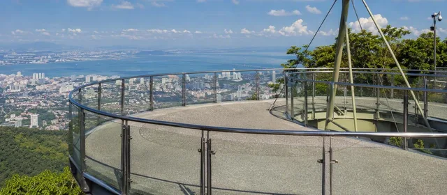
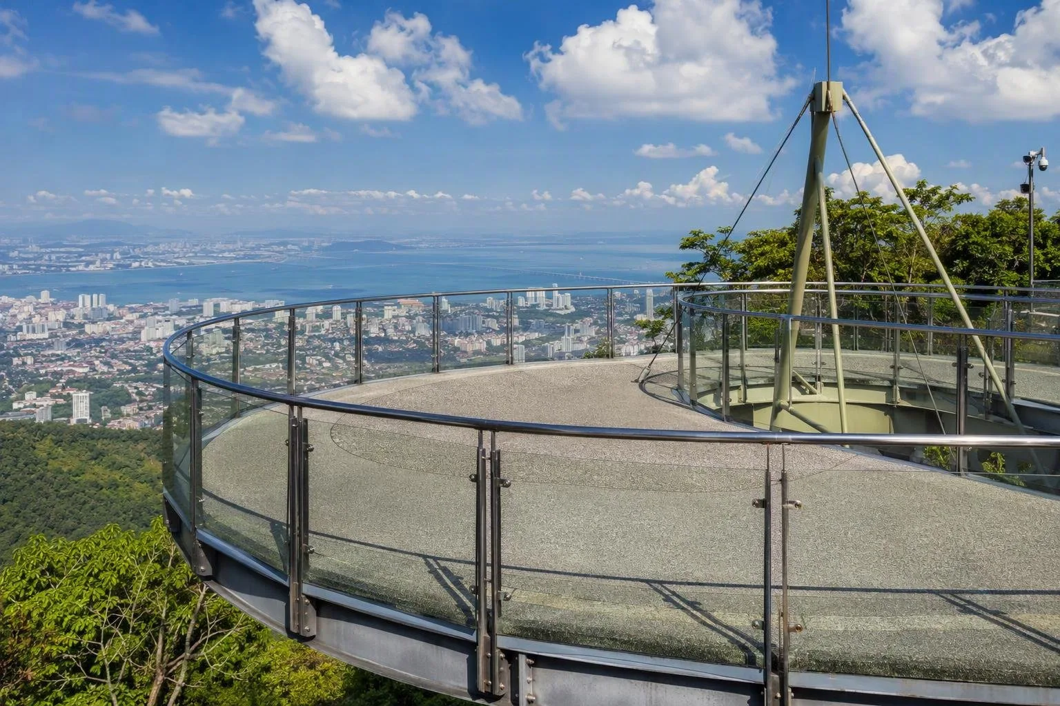
Start at the SkyWalk, a 360-degree observation deck near the upper station. It looks across George Town, the mainland and both Penang bridges. The East and West SkyDecks provide further landscaped viewpoints.
For the hill-station character, walk beyond the station to see the restored Art Deco Edgecliff bungalow gallery, heritage residences and the Victorian post box. The Sri Aruloli Thirumurugan Temple and Penang Hill Mosque remain active religious sites; dress and behave respectfully.
Forest walks
Penang Hill sits within the Penang Hill Biosphere Reserve. The summit has paved walks and a network of longer forest routes. The official map lists four signed bypaths from the upper station:
- Bamboo Walk: 1.5km, about 45 minutes
- Heliconia Walk: 2km, about 60 minutes
- Palm Walk: 2.5km, about 75 minutes
- Fern Walk: 3.1km, about 100 minutes
The Habitat Penang Hill is a separate-ticket rainforest discovery centre near the summit. For a substantial hike, the Jeep Track from Penang Botanic Gardens is about 5km and is estimated at 150 minutes.
Timing and ground rules
Go early for cooler conditions and clearer long-distance views. Allow extra time on weekends and public holidays, when funicular demand is higher.
This is a natural hill environment with freely roaming wildlife, fast-changing weather and uneven ground. Stay on marked routes, follow warning signs and wear footwear with grip for unpaved trails. Do not feed or approach animals.
From the magazine
Stories about Penang Hill
Editorial stories linked directly to Penang Hill.

Routes from our editors
Travel through Penang Hill
Editorial routes connecting Penang Hill with other countries, cities and hotspots.
No routes through Penang Hill have been published yet.
More in Malaysia
Related hotspots
Other cities, nature areas and places within Malaysia.