Mountain · Iran
Alborz Mountains
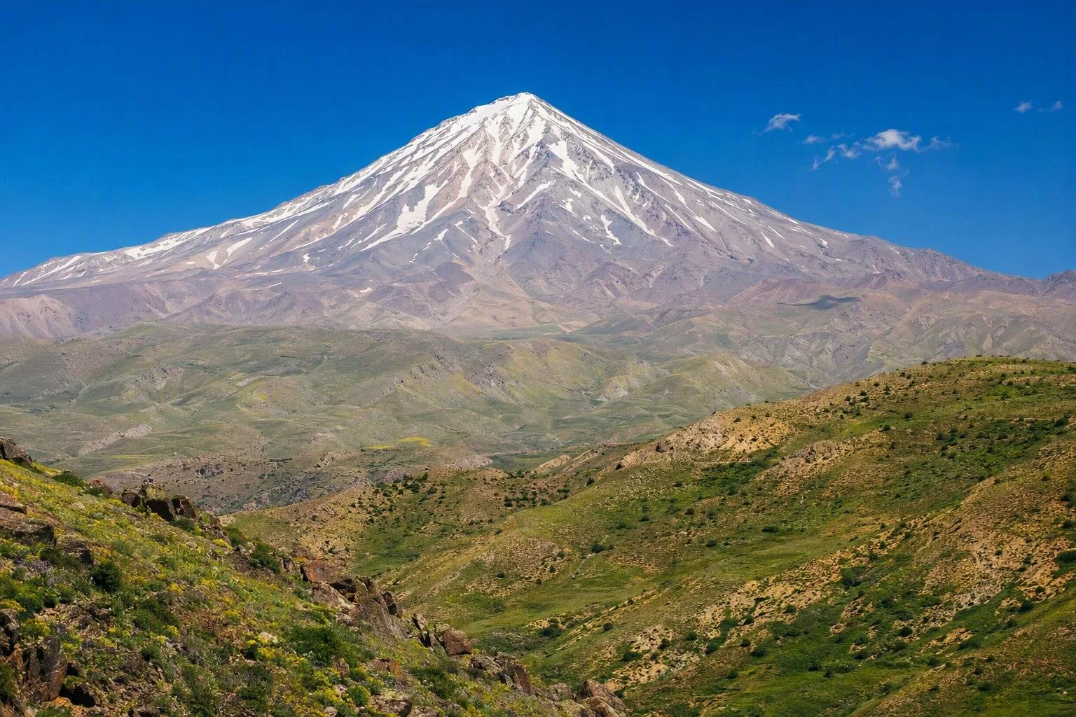
The Alborz is northern Iran’s long mountain barrier between the Caspian lowlands and the Iranian plateau. Its Central Alborz section rises behind Tehran and contains Mount Damavand, Iran’s highest peak.
The range at a glance
The Alborz is a mountain system, not a single park or trailhead. It runs across northern Iran along the south side of the Caspian Sea, separating the humid coast from the much drier interior plateau. The broad definition stretches about 900 km from the Azerbaijan frontier towards Khorasan; the central section is the highest and most relevant for trips from Tehran.
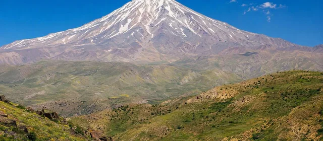
Mount Damavand, an isolated volcanic cone, is the range’s highest summit and Iran’s highest point. It is a major landmark, but it is only one part of the Alborz. Treat the range as a collection of valleys, passes, forest slopes, high ridges and mountain settlements.
Read the landscape
The contrast across the crest is the essential Alborz experience.
- North-facing slopes: Moist Caspian air supports the Hyrcanian broad-leaved forests, then beech and oak at higher elevations.
- Southern slopes: Conditions turn markedly drier, with steppe-like ground, sparse trees and the Tehran piedmont below.
- High country: Ridges, deep-cut valleys and snowbound terrain define the Central Alborz. The Kandovan and Gaduk passes are among the principal crossings.
The Hyrcanian forests are a protected World Heritage landscape. Their forest belt holds ancient broad-leaved ecosystems and a rich concentration of plant life; do not assume that every forest road or slope is open to unrestricted access.
Choosing a section
Start by choosing a landscape rather than trying to “do the Alborz.”
From Tehran, the southern foothills provide the clearest sense of the range rising directly over the capital. The Tehran–Chalus road crosses toward the Caspian via the Kandovan area; routes via Damavand and Firuzkuh reach other parts of the central chain. These are mountain journeys, not interchangeable city-to-city drives: valleys, gradients and seasonal conditions shape the route.
For the highest terrain, focus on the Central Alborz around Damavand and the Takht-e Soleyman massif. Damavand is a serious high-altitude objective, not a casual extension of a road trip. For a lower-elevation contrast, use a Caspian-facing valley or forested foothill section.
Seasons and conditions
Winter brings substantial snow at altitude, while passes and high routes can be difficult or unavailable. Late spring through early autumn is generally the workable window for mountain landscapes, but snow lingers high above the valleys and temperatures fall quickly after sunset.
Pack for exposure rather than city weather: waterproof outer layer, warm insulation, sun protection, sturdy footwear, water and an offline map. In the high range, weather, visibility and road conditions can change faster than a day plan.
Access and care
Roads, rail and settlements make selected corridors accessible, but the Alborz remains large and unevenly serviced. Keep overnight plans anchored to a specific valley or town; do not rely on crossing remote ridges without a defined route.
Protected forest components have regulated use. Stay on permitted access, avoid fires where prohibited, and leave grazing land, wildlife habitat and watercourses undisturbed.
From the magazine
Stories about Alborz Mountains
Editorial stories linked directly to Alborz Mountains.
No stories about Alborz Mountains have been published yet.
Routes from our editors
Travel through Alborz Mountains
Editorial routes connecting Alborz Mountains with other countries, cities and hotspots.
No routes through Alborz Mountains have been published yet.
More in Iran
Related hotspots
Other cities, nature areas and places within Iran.