Nature area · Latvia
Daugava
The Daugava is Latvia’s principal river, flowing through Riga before entering the Gulf of Riga. In the capital, it is the broad working waterway between Vecrīga and Pārdaugava.
The river at Riga
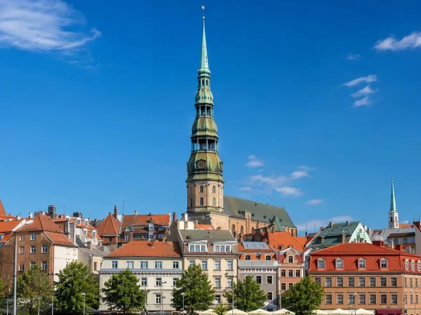
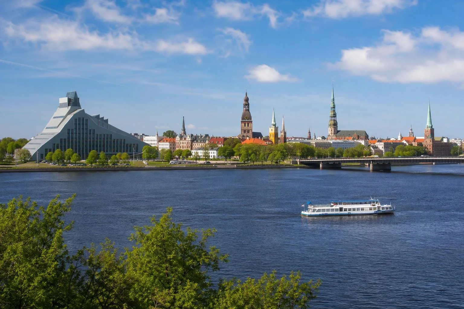
The Daugava rises in Russia’s Valdai Hills, runs through Belarus and Latvia, and reaches the Baltic through the Gulf of Riga. Its Latvian course is 352 km long. Riga occupies both banks close to the river mouth, and the central stretch supplies the city’s essential big view: medieval Vecrīga on the right bank, Pārdaugava on the left.
This is not a decorative canal. Riga is a port city, and commercial navigation remains part of the river’s character. The main shipping channel reaches upriver as far as Vanšu Bridge. Keep clear of operational quays and do not treat the river edge as a swimming area.
Read the skyline
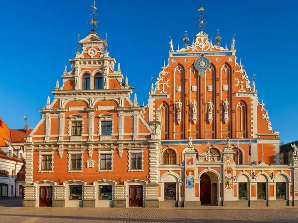
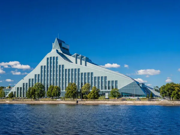
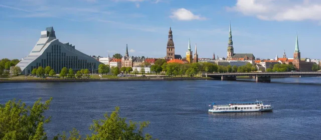
For the clearest central panorama, stand near the right-bank embankment around 11. novembra krastmala and look southwest. The low roofline and church spires of the Old Town sit behind you; across the water rises the National Library of Latvia, known as the Castle of Light. Its steep, faceted glass profile deliberately makes a modern counterpoint to Vecrīga’s towers.
Akmens tilts (Stone Bridge) gives the most direct crossing between the Old Town side and the library quarter. From its deck, the river opens east and west, with rail infrastructure, river traffic and successive bridges making Riga’s port geography immediately legible.
A practical riverside walk
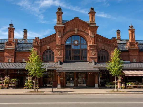
Start at the Old Town embankment, then follow the river south toward Akmens tilts. Cross to the library side for views back to Vecrīga. Continue south into Torņakalns and Āgenskalns if you want to exchange the monumental waterfront for residential streets and the market district.
- Surface: mostly paving and asphalt along the central embankments.
- Best light: late afternoon puts the Old Town façade and towers in a strong cross-river view from Pārdaugava.
- Distance: the Old Town–Stone Bridge–library circuit is compact; add Āgenskalns for a longer walk.
On the water
Seasonal sightseeing boats combine Riga’s city canal with the Daugava, giving a useful sequence of the Old Town, Central Market, bridges and both banks. River panoramas are strongest from the open central channel, but remember that this is shared port water rather than a private leisure basin.
Why it matters
The Daugava was a long-distance trade route linking the Baltic with inland river systems. That geography explains Riga’s foundation as a port and the old city’s position beside the water. Today the river remains the line that separates—and visually connects—the medieval core, bridges, harbour infrastructure and the city’s most conspicuous modern landmark.
From the magazine
Stories about Daugava
Editorial stories linked directly to Daugava.
No stories about Daugava have been published yet.
Routes from our editors
Travel through Daugava
Editorial routes connecting Daugava with other countries, cities and hotspots.
No routes through Daugava have been published yet.
More in Latvia
Related hotspots
Other cities, nature areas and places within Latvia.