
Neighbourhood · Thailand
Bang Rak, Bangkok
Bang Rak is Bangkok’s historic riverside district on the east bank of the Chao Phraya River. Its lanes and the Charoen Krung corridor connect old trading architecture, places of worship and public art.
Why Bang Rak matters
Bang Rak grew where river trade, foreign missions and local communities met. Thai, Chinese, Muslim and Western influences remain visible in religious buildings, working shophouses, food businesses and former commercial premises. It is a district rather than a single preserved quarter: office towers and traffic sit close to old lanes and riverside warehouses.
Charoen Krung Road is the useful spine. It was Thailand’s first modern road and still links the river-facing streets with the older commercial fabric inland.
Walk the Charoen Krung side streets
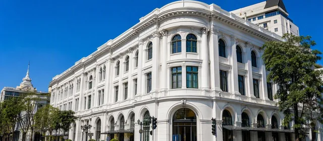
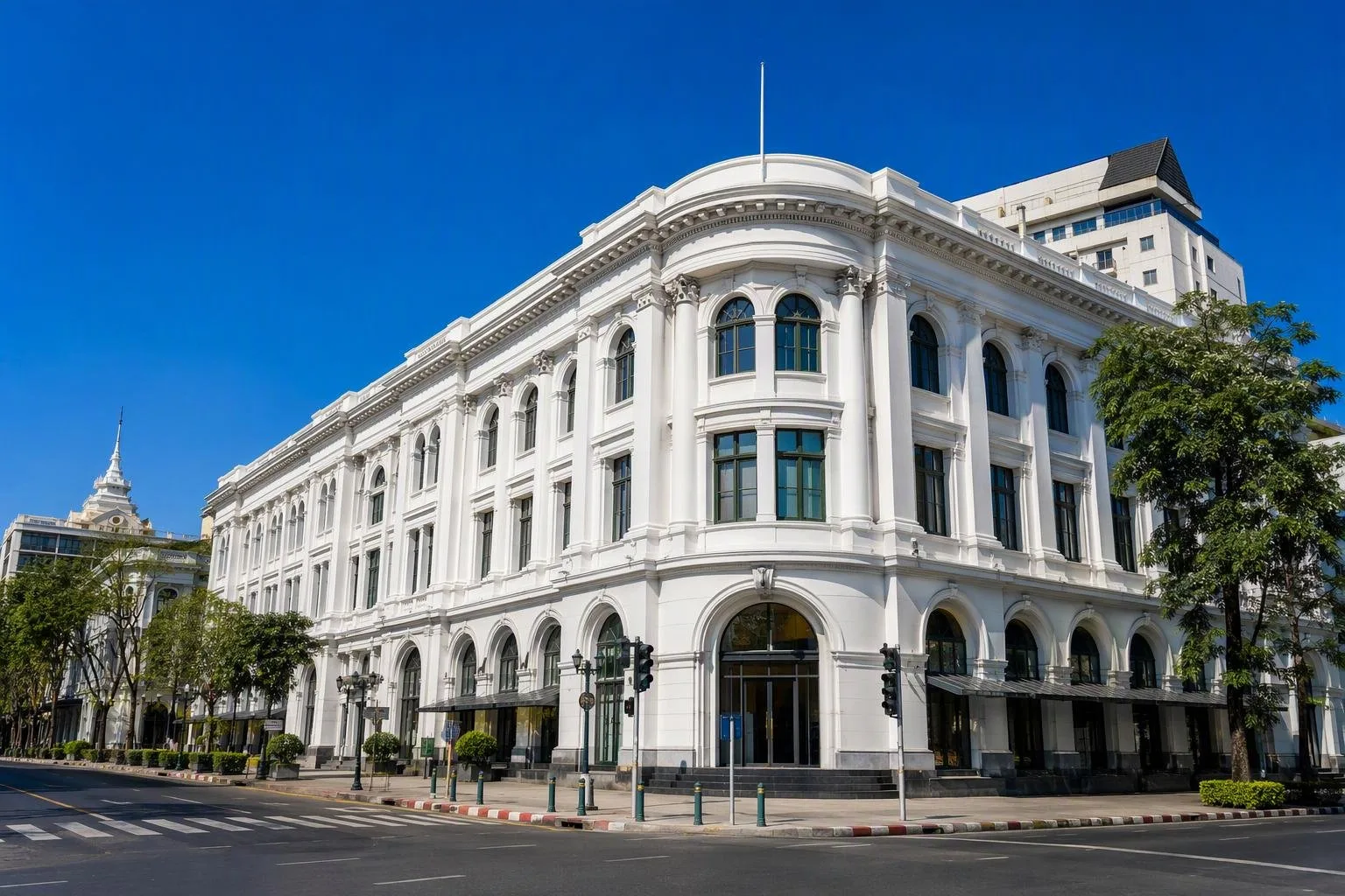
Start around the Grand Postal Building, now a focal point of the Charoen Krung creative district. The surrounding streets reward a slow walk rather than a checklist.
- Soi Charoen Krung 28, 30 and 32: look for murals on shophouse walls and in small lanes.
- Soi 36: this riverside stretch leads towards the old Customs House area and Haroon Mosque.
- Oriental Avenue: follow the street to see the district’s historic hotel and mission-quarter setting from the public way.
Murals are part of the streetscape, not a fixed gallery collection. Works can be painted over or obscured, so treat them as discoveries along the route rather than guaranteed stops.
Architecture and living heritage
Bang Rak’s appeal lies in the overlap of uses. Old shopfronts may still hold trades or food businesses; larger former commercial buildings have become design, exhibition or retail spaces. The Grand Postal Building is the clearest landmark of this shift.
For a deeper historical stop, the Bangkokian Museum in Si Phraya presents local history and middle-class Bangkok life around the Second World War. Assumption Cathedral and the riverside mission area show another layer of the district’s long Catholic presence.
Keep the distinction clear: Bang Rak includes business districts such as Silom, but the most walkable heritage-and-art concentration is west of Charoen Krung, between the road and the river.
Getting there and around
Use the river or Skytrain to avoid spending the visit in road traffic. Sathorn Pier is the practical river gateway, beside BTS Saphan Taksin; from there, walk north into Bang Rak or use a short taxi ride to the Grand Postal Building.
Once in the Charoen Krung area, go on foot. Side streets are close together, but pavements can be uneven, narrow or blocked by deliveries. Wear shoes suitable for a few kilometres of city walking and cross the main road carefully.
Best approach
Visit in daylight for façades, murals and the riverside lanes. Begin with the Grand Postal Building, work through the numbered sois, then finish nearer the river around the cathedral and Oriental Avenue. This route makes the district’s structure legible: road, lane, warehouse, river.
Places of worship are active community sites. Dress modestly and do not assume access beyond public areas.
From the magazine
Stories about Bang Rak, Bangkok
Editorial stories linked directly to Bang Rak, Bangkok.
No stories about Bang Rak, Bangkok have been published yet.
Routes from our editors
Travel through Bang Rak, Bangkok
Editorial routes connecting Bang Rak, Bangkok with other countries, cities and hotspots.
No routes through Bang Rak, Bangkok have been published yet.
More in Thailand
Related hotspots
Other cities, nature areas and places within Thailand.
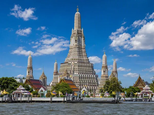
Bangkok
3 linked stories and routes
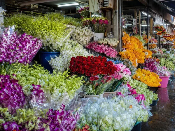
Pak Khlong Talat Flower Market
2 linked stories and routes
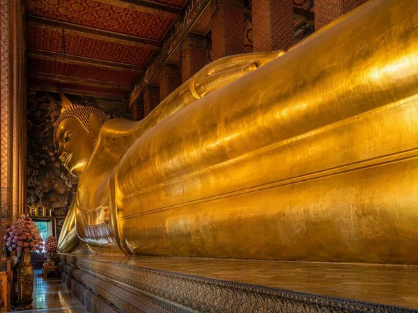
Wat Pho
2 linked stories and routes
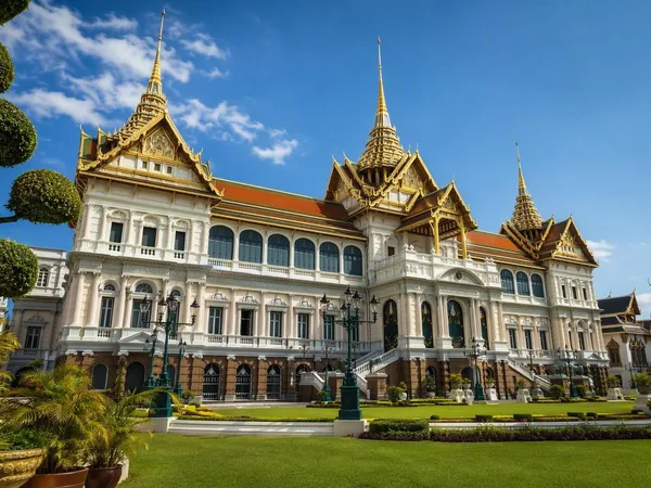
Grand Palace
2 linked stories and routes
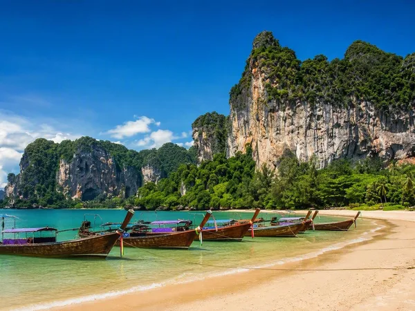
Railay Beach, Krabi
1 linked stories and routes
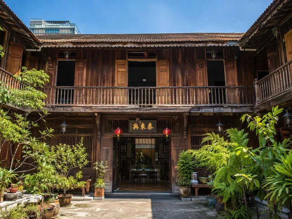
Talad Noi
1 linked stories and routes
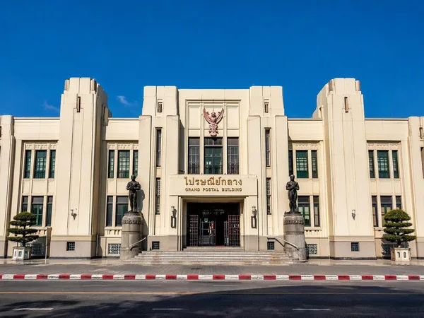
Grand Postal Building
1 linked stories and routes
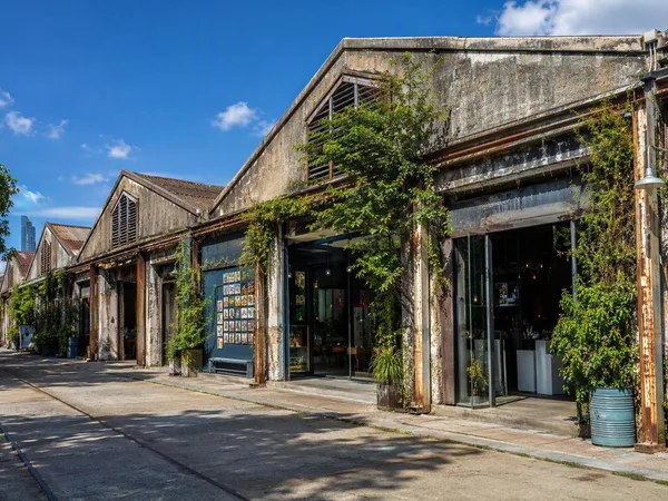
Warehouse 30
1 linked stories and routes
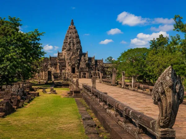
Isaan, Northeast Thailand
1 linked stories and routes