Mountain · Tajikistan
Pamirs
The Pamirs are Tajikistan’s immense high-mountain heartland, centred on the Gorno-Badakhshan region in the east. Expect high plateaux, deep-cut valleys, glaciers and long road distances rather than a single park or resort.
The mountain system
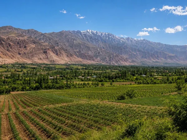
The Pamirs are a highland mountain region whose core lies in Tajikistan. Their geography changes sharply across the country: rugged, glaciated summits and deep river gorges dominate the west, while the east opens into broad, treeless plateaux with an alpine-desert character.
Much of the Tajik Pamirs falls within Tajik National Park, a World Heritage landscape of more than 2.5 million hectares. It contains 1,085 recorded glaciers, 170 rivers and more than 400 lakes. This is not a destination with one entrance, centre or standard circuit; choose a route and treat it as a multi-day mountain journey.
What defines the Pamirs
The scale is the point. Build an itinerary around a few major landforms rather than trying to collect every named stop.
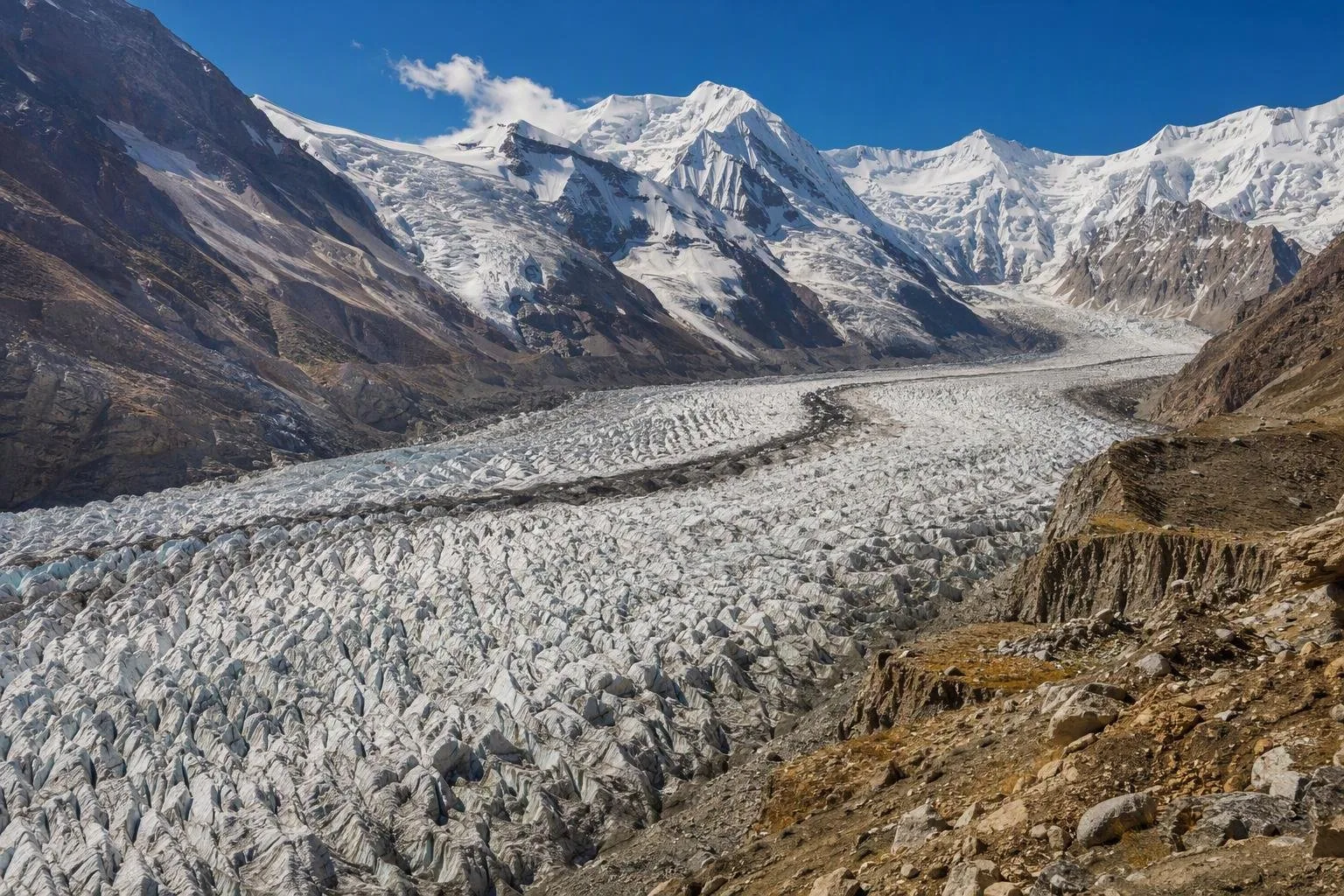
- Fedchenko Glacier: the longest valley glacier outside the polar regions, set among the central ranges. It is a serious remote-mountain objective, not a roadside sight.
- Lake Sarez: a high, deep lake created when an earthquake-triggered landslide formed the Usoi Dam, the world’s highest natural dam.
- Karakul Lake: a large high-altitude lake on the eastern plateau, framed by austere mountains and open sky.
- High passes and plateaux: the contrast between western gorges and the cold, dry eastern plateau is central to the experience.
Snow leopard, Marco Polo argali and Siberian ibex inhabit the wider protected landscape, but wildlife sightings are never assured.
Routes and bases
The Pamir Highway is the main overland spine: a high-altitude road through Gorno-Badakhshan extending for more than 700 km, with passes above 4,000 metres. Khorog is the usual practical base for western Pamir routes; from there, drives and side roads lead towards the Wakhan, the plateau and Murghab.
Travel times are governed by surface, weather and elevation, not map distance. Use a robust vehicle and driver for routes beyond reliable paved sections, and retain spare days for delays. Community guesthouses and homestays are a practical way to break long stages; services thin out rapidly outside settlements.
Season, altitude and access
Summer is the workable season for most road travel and trekking. Winters are severe, while snow can close high routes well into late spring and return early in autumn. Nights can be cold even in summer; pack for strong sun, wind and abrupt weather shifts.
Altitude is the non-negotiable planning issue. Build in gradual ascent and rest days before sleeping on the higher plateau. Headache, nausea or worsening fatigue at altitude require a pause and, if symptoms become serious, descent.
Foreign visitors require the appropriate Tajik entry permission, and travel in Gorno-Badakhshan requires a separate permit. Border areas and protected locations can have additional restrictions. Carry printed documents, follow checkpoint instructions and do not photograph border infrastructure.
From the magazine
Stories about Pamirs
Editorial stories linked directly to Pamirs.
No stories about Pamirs have been published yet.
Routes from our editors
Travel through Pamirs
Editorial routes connecting Pamirs with other countries, cities and hotspots.
No routes through Pamirs have been published yet.
More in Tajikistan
Related hotspots
Other cities, nature areas and places within Tajikistan.