
Nature area · Andorra
Valira River
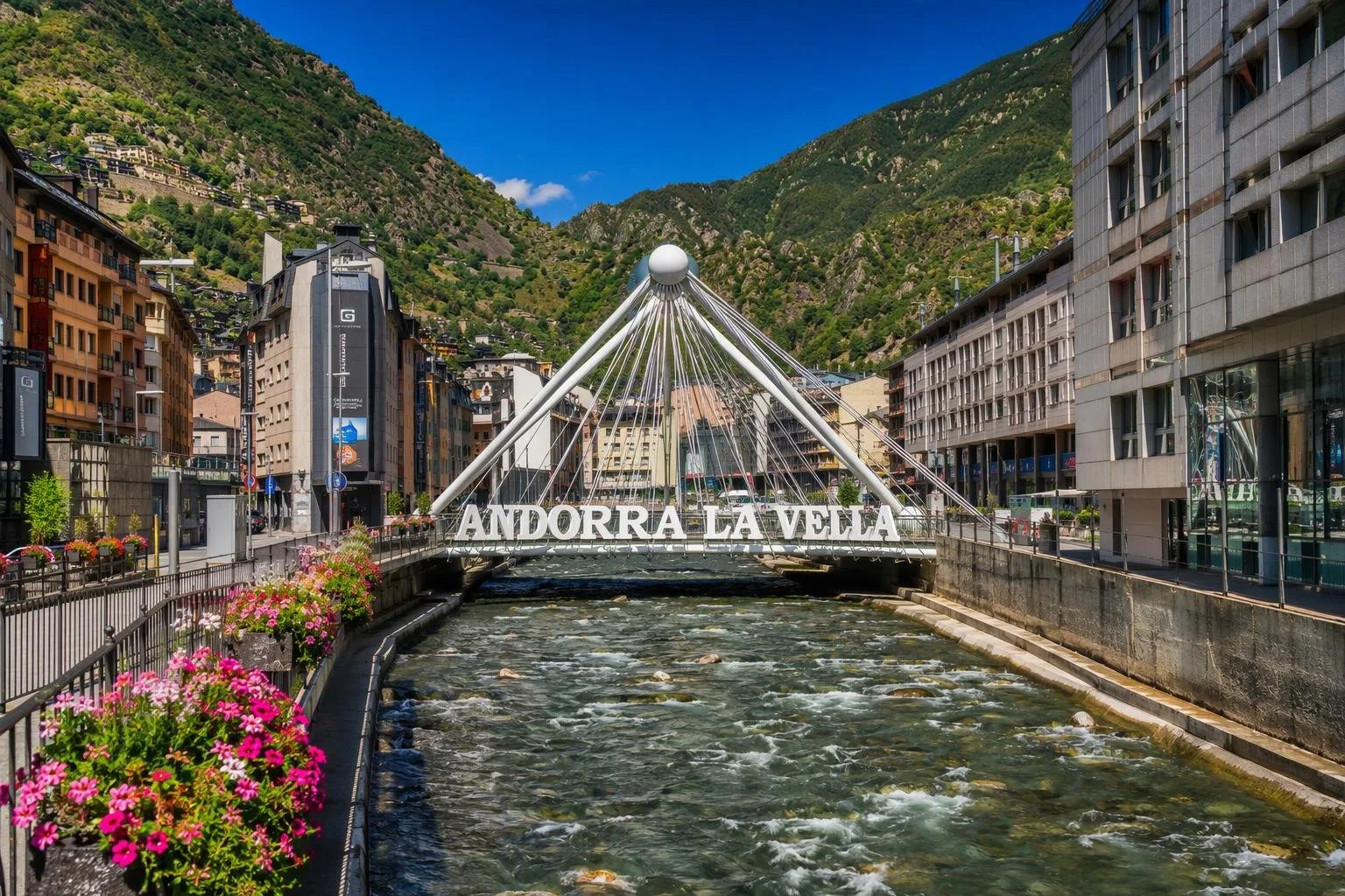
The Valira is Andorra’s main river system, joining at Escaldes-Engordany before running through Andorra la Vella and south towards Spain. In the capital, its channelled course is a useful line between the old quarter, shopping streets and mountain slopes.
Read the river
The name Valira covers a Y-shaped river system. The Valira del Nord and Valira d’Orient meet at Escaldes-Engordany; downstream, the combined river is the Gran Valira, commonly shortened to Valira. It continues south through Andorra la Vella, Santa Coloma, La Margineda and Sant Julià de Lòria, then crosses into Spain and joins the Segre near La Seu d’Urgell.
In central Andorra la Vella, this is an urban river rather than a wilderness walk: water runs between engineered banks, roads and dense buildings. It is still the clearest way to understand the capital’s narrow north–south layout.
The central riverfront
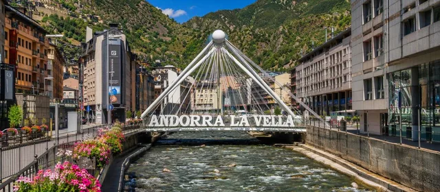
Start around Plaça de la Rotonda and the Pont de París. The bridge, completed in 2005, connects Avinguda Dr. Mitjavila with Carrer Consell d’Europa. Its two triangular structures meet at steel spheres: a deliberately modern counterpoint to Andorra’s old stone crossings.
The riverside here sits beside the commercial centre. The Rotonda fountains occupy the Valira bank close to the tourist office, while the historic centre rises a short climb west of the water. Use the river as a simple orientation line: the old quarter is uphill; the broad shopping streets spread on the valley floor.
Old power above the valley
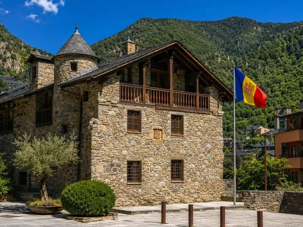
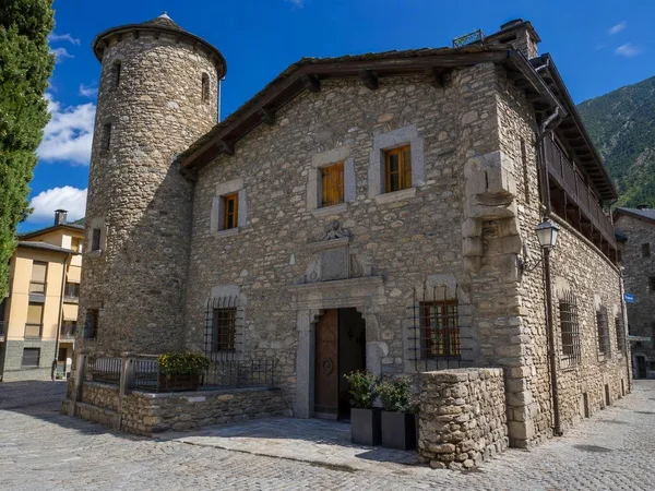
From the central riverfront, climb through the Barri Antic to Casa de la Vall. Built as a Busquets family manor house in the late 16th century, it was the seat of Andorra’s parliament from 1702 to 2011. Its position on a rock above the Valira valley explains both the defensive logic of the old town and the compressed geography below.
The contrast is useful: Casa de la Vall is local stone and slate, while Pont de París is contemporary infrastructure over the channelled river.
La Margineda: the historic crossing
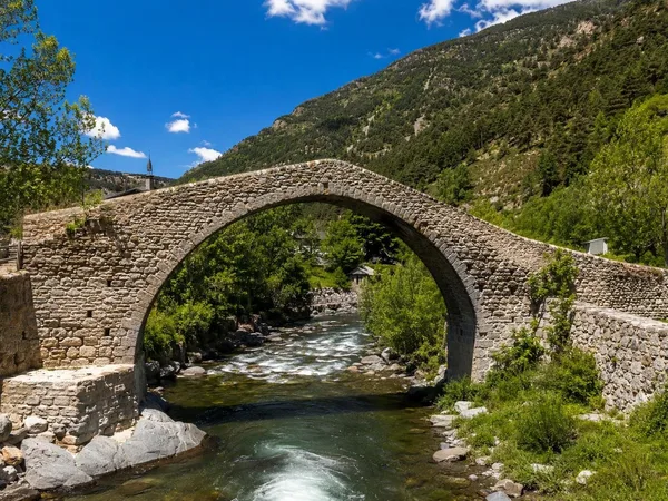
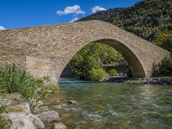
South of the centre, the Pont de la Margineda crosses the Valira in a single stone arch. Built in the 15th century, it is the largest surviving medieval bridge in Andorra, 33 metres long with a span of about 9.5 metres. It carried the former route between Sant Julià de Lòria and Andorra la Vella.
This is the best place to see the river as an old travel corridor rather than an urban edge. The Camí de Costa Seda begins by the La Margineda roundabout, crosses the bridge and follows the Ral de l’Obac path north alongside the Valira before climbing away into the woods.
Practical approach
- For a short walk: combine Plaça de la Rotonda, Pont de París and the old town on foot.
- For historic river architecture: go south to Pont de la Margineda.
- For a longer hike: the Camí de Costa Seda is difficult and gains 674 metres; it is not a casual riverside promenade.
- River safety: stay on paths and bridges. The central channel is engineered for a mountain river and water levels can change quickly in heavy rain.
From the magazine
Stories about Valira River
Editorial stories linked directly to Valira River.
No stories about Valira River have been published yet.
Routes from our editors
Travel through Valira River
Editorial routes connecting Valira River with other countries, cities and hotspots.
No routes through Valira River have been published yet.
More in Andorra
Related hotspots
Other cities, nature areas and places within Andorra.
La Margineda
1 linked stories and routes
Santa Coloma, Andorra
1 linked stories and routes
Pont de la Margineda
1 linked stories and routes
Andorra la Vella
1 linked stories and routes
Escaldes-Engordany
1 linked stories and routes
Barri Antic, Andorra la Vella
1 linked stories and routes
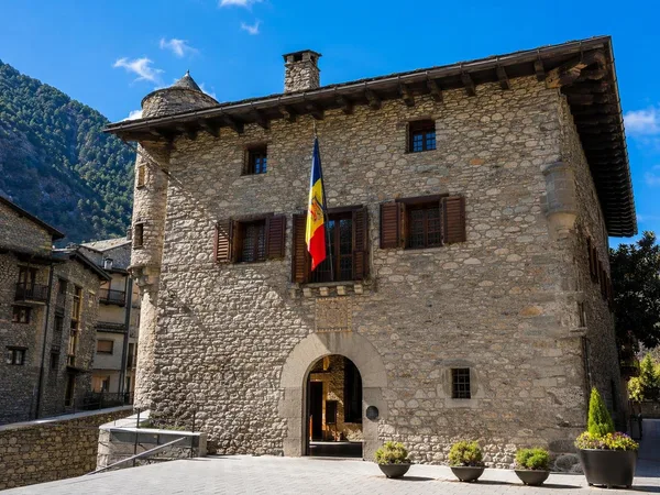
Casa de la Vall
1 linked stories and routes