
Region · Belize
Cayo District
Cayo is Belize’s western inland district, spanning the national capital Belmopan, the district capital San Ignacio, Maya archaeological parks, rivers and highland forest. Use San Ignacio as the practical base for most excursions.
Orientation
Cayo is a large inland district in western Belize, bordering Guatemala. San Ignacio and Santa Elena form the most useful visitor hub; San Ignacio is the district capital, while Belmopan lies in the east of the district. The Macal and Mopan rivers meet near San Ignacio to form the Belize River.
The district is spread out. Treat it as a collection of day trips rather than a place to cover in one loop.
Maya sites
Cayo holds several of Belize’s principal archaeological reserves.
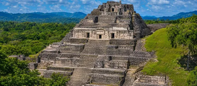
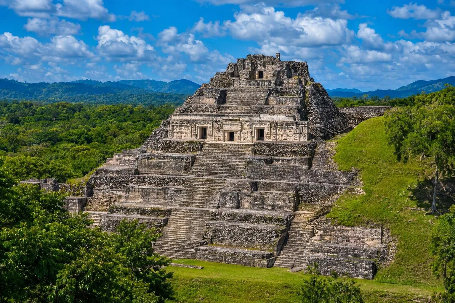
- Xunantunich: near San José Succotz, across the Mopan River. The hand-cranked ferry is part of the approach. Its 130-foot El Castillo pyramid and surviving stucco friezes make this the clearest short archaeological outing from San Ignacio.
- Cahal Pech: a compact hilltop complex on the edge of San Ignacio, suitable for a visit without committing a full day.
- Caracol: the remote, extensive Maya city in the south of the district. Give it a full day: the journey runs through forest country and is as significant as the ruins themselves.
- El Pilar: near the Guatemala border northwest of San Ignacio, with much of its Maya city still covered by forest.
At archaeological parks, stay on signed routes, use handrails where provided, and do not climb or jump on monuments.
Caves, forest and water
For a markedly different landscape, head south to Mountain Pine Ridge Forest Reserve. This highland reserve combines pine forest, hardwood patches, creeks and granite riverbeds. Rio On Pools offers natural pools in exposed granite; Rio Frio Cave is a large limestone passage where the river runs underground. The Thousand Foot Falls Natural Monument lies by the reserve and protects a dramatic waterfall landscape.
Actun Tunichil Muknal (ATM) is an archaeological cave rather than a casual swim stop. Access is through licensed tour operators only. Expect a physically active cave visit involving water and uneven ground; choose footwear with grip and follow the guide’s directions exactly.
Getting around
The George Price Highway links Belmopan, San Ignacio and the Guatemalan border. It works for inter-town travel, but Cayo’s headline sites lie well beyond the paved corridor.
A rental car gives flexibility for towns and nearby sites. For Caracol, ATM and remote parts of Mountain Pine Ridge, use a properly equipped guided trip or high-clearance transport. Allow extra time after rain: unpaved approaches and river conditions can slow access.
Pace and planning
Build days around one major outing. Pair Cahal Pech with time in San Ignacio; pair Xunantunich with Succotz; reserve separate days for ATM, Caracol or Mountain Pine Ridge. Dry months generally make rough roads and outdoor walking simpler, while wetter months can raise river levels and complicate remote access.
From the magazine
Stories about Cayo District
Editorial stories linked directly to Cayo District.
No stories about Cayo District have been published yet.
Routes from our editors
Travel through Cayo District
Editorial routes connecting Cayo District with other countries, cities and hotspots.
No routes through Cayo District have been published yet.
More in Belize
Related hotspots
Other cities, nature areas and places within Belize.
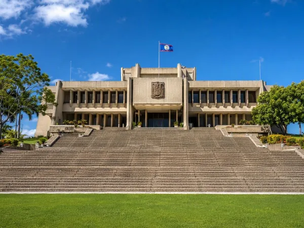
Belmopan
3 linked stories and routes
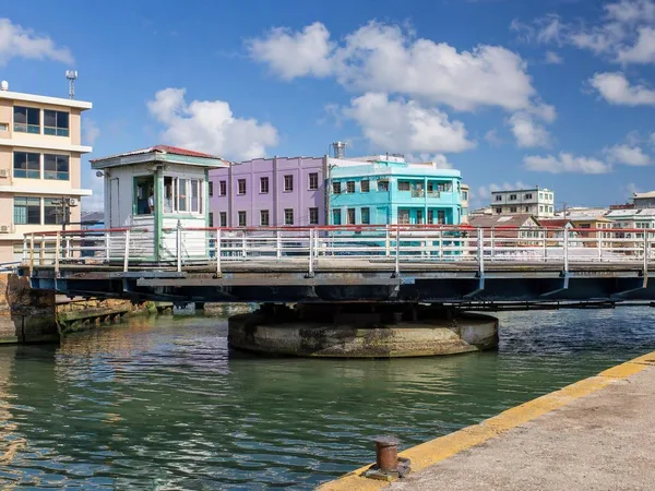
Belize City
3 linked stories and routes
National Assembly Building, Belmopan
2 linked stories and routes
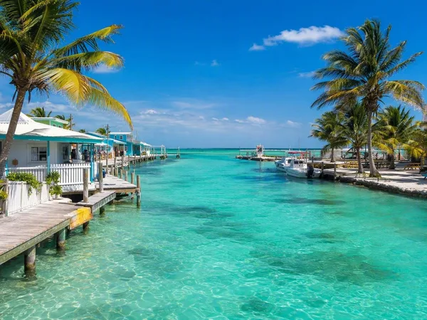
Caye Caulker
1 linked stories and routes
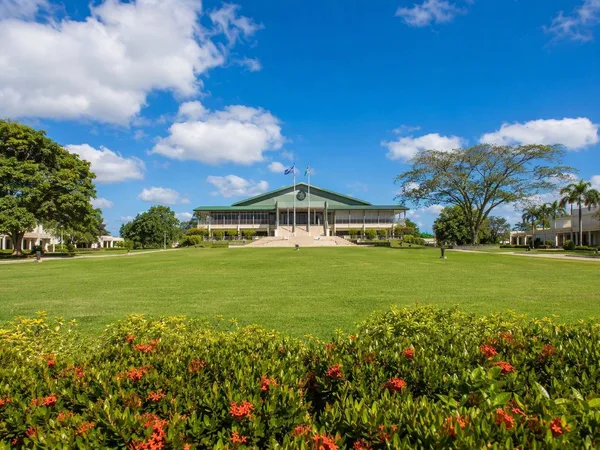
Independence Plaza, Belmopan
1 linked stories and routes
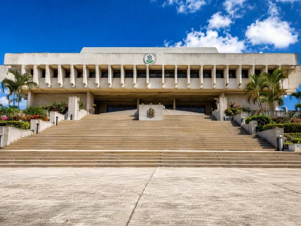
Independence Hill, Belmopan
1 linked stories and routes