Mountain · Turkmenistan
Kopet-Dag
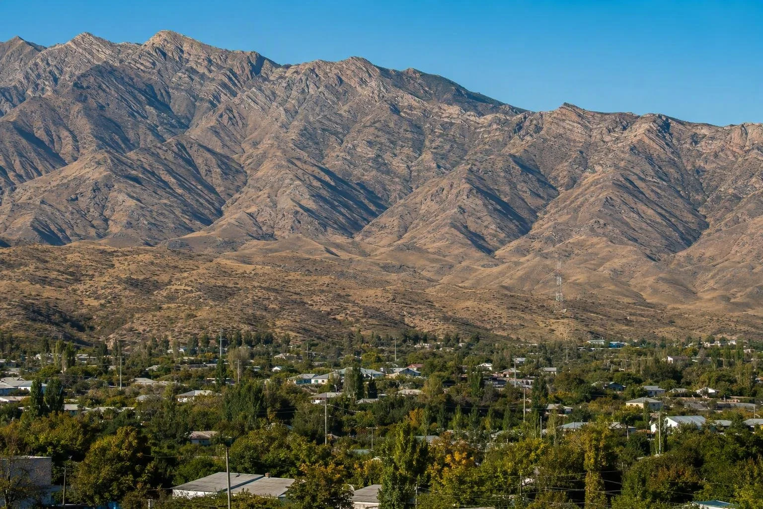
The Kopet-Dag is the long mountain range that forms Turkmenistan’s borderland with Iran and rises directly behind Ashgabat. Its dry ridges, ravines and high slopes provide the capital’s defining southern horizon.
Orientation
Kopet-Dag is a mountain range, not a single summit or park. It runs northwest to southeast for roughly 645 kilometres, from near the Caspian Sea towards the Tejen River, forming much of the Turkmenistan–Iran frontier. Ashgabat sits in its northern foothills, where the mountains rise abruptly beyond the city.
The range belongs to the wider Turkmen–Khorasan mountain system. Its highest point, Kuh-e Quchan, is in Iran at 3,190 metres; the Turkmen side is best understood as a long chain of foothills, ridges and border highlands rather than one accessible peak.
Landscape and character
Expect an arid mountain edge: pale, folded sedimentary rock, dry slopes, plateaus and sharply cut ravines. The mountains were built from Jurassic and Cretaceous rocks and continue to be shaped by tectonic activity.
Altitude changes the landscape markedly:
- Lower slopes: desert vegetation and open, dry ground.
- Middle elevations: drought-tolerant grassland.
- Higher slopes: juniper and cypress woodland in the wetter mountain zones.
This transition is the point of the Kopet-Dag. It is the physical break between the Karakum-facing lowlands and the Iranian plateau beyond the border.
Ashgabat foothills
For a practical encounter with the range, use Ashgabat as the base. The city’s southern edge gives the clearest sense of how closely the mountains press against the capital. The 36-kilometre Kopetdag Health Trail follows the foothills and is a substantial paved walking route rather than a short urban promenade.
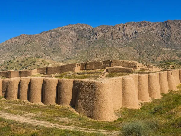
The foothills also give context to the Parthian Fortresses of Nisa, south-west of Ashgabat. Nisa was positioned at the foot of the range, where mountain frontage, settlement and long-distance routes met.
When to go
Summers are warm and dry; winter is relatively cool and damper, with snow possible at higher elevations. For time outdoors around the foothills, favour the cooler parts of the year and start walks early. Carry water: the mountain setting is still dry-country terrain, even when Ashgabat is close.
Access and boundaries
Treat Kopet-Dag as a frontier landscape, not open backcountry. The range follows an international border, and protected or controlled areas occur on the Turkmen side. Use established roads and authorised access points; do not approach or attempt to cross the border away from a formal checkpoint.
A guide and arranged transport are the sensible option for trips beyond Ashgabat’s immediate foothills. The reward is not a checklist of attractions but a clear reading of Turkmenistan’s terrain: city, desert margin and folded mountains in one view.
From the magazine
Stories about Kopet-Dag
Editorial stories linked directly to Kopet-Dag.
No stories about Kopet-Dag have been published yet.
Routes from our editors
Travel through Kopet-Dag
Editorial routes connecting Kopet-Dag with other countries, cities and hotspots.
No routes through Kopet-Dag have been published yet.
More in Turkmenistan
Related hotspots
Other cities, nature areas and places within Turkmenistan.