
From Hobart to Bruny Island: Farms, Small Towns and the Southern Ocean
A short ferry crossing from Kettering leads to a very different scale of Tasmania: oyster lines in the channel, sheep paddocks on North Bruny, a sand neck between two islands, and dolerite cliffs above the Southern Ocean. The road also follows Nuenonne Country, a coastline shaped by palawa history, European shipping and generations of island work.
From Hobart to the D’Entrecasteaux Channel
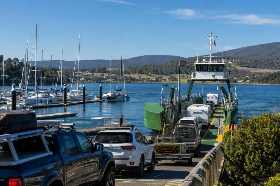 Cars and freight board the Bruny Island ferry at Ferry Road in Kettering.
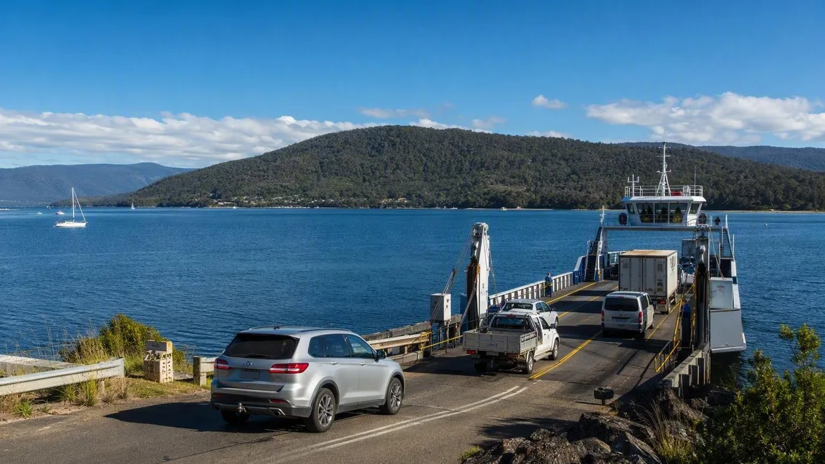
The drive south from Hobart to Kettering covers 32 kilometres and takes about half an hour. At Oyster Cove Marina, yachts sit in sheltered water before the road reaches Ferry Road, where the Bruny Island ferry loads cars, freight and passengers.
The crossing takes 15 to 20 minutes from Kettering to Roberts Point on North Bruny. It crosses the D’Entrecasteaux Channel, a narrow passage rather than an open-ocean run. The ferry nevertheless carries the everyday traffic of an island community between mainland Tasmania and Bruny.
That waterway belongs to a much older map. Bruny Island is the land and sea Country of the Nuenonne, a clan of the South East nation of Tasmanian Aboriginal people. Nuenonne people regularly travelled to the mainland and sometimes directly to the Tasman Peninsula.
The channel and island carry the name of French admiral Bruni d’Entrecasteaux, whose expedition sailed through the passage in 1792 and charted the southern coast for European mapmakers. Its records include early accounts of contact with palawa people and French-palawa word lists that contribute to language revival.
Roberts Point and North Bruny’s working land
At Roberts Point, the ferry ramp meets Lennon Road. Loading lanes, traffic signs and a small building with a shop, café and toilets make up the terminal. School buses, medical services and emergency vehicles receive boarding priority, showing the practical weight of this short crossing in island life.
North Bruny begins low and agricultural. Land grants started here in 1818, followed by clearing for sheep, cattle, orchards and timber production. Open paddocks and scattered farms now line the main road south from the terminal.
At Great Bay, Pacific oysters grow in trays suspended from floating lines in the channel. Dry sheep pasture surrounds the water, which has little development and no river flowing into it. Oyster growers buy juvenile oysters from Tasmanian hatcheries, then spend two to three years raising them on Bruny before harvesting and opening them for sale.
Cheese provides another clear link between island food and nearby farming. A Bruny cheesemaker produces, matures and sells its cheeses on the island, using milk from its own dairy farm in Glen Huon across the channel. Honey, wine, vegetables, eggs and wood-fired sourdough add to the small-scale food trade. Some loaves are sold from an old self-service refrigerator with a payment slot.
The sand ridge at The Neck
The Neck joins North and South Bruny. This low, sandy isthmus formed after the last ice age, when rising seas covered shallow ground and waves from opposing directions piled sand into a narrow ridge.
From the lookout, water and beaches lie on both sides of the ridge, while South Bruny stretches towards Adventure Bay. Boardwalks protect burrows used by little penguins and short-tailed shearwaters. The penguins come ashore around dusk, and shearwaters use the dunes in summer.
The Neck also lies within the history of Truganini, who was born into the Nuenonne community on Bruny around 1812. Sealers, whalers and timber workers brought violence, abduction and dispossession. During the Black War, survivors were removed to Flinders Island, where many died. Truganini later returned to Oyster Cove and renewed her connection with Bruny Country. Palawa communities continue, despite the colonial falsehood that she was the last Tasmanian Aboriginal person.
Adventure Bay’s sheltered shore
Adventure Bay lies on the more sheltered eastern side of South Bruny. Its long sandy beach differs sharply from the high dolerite headlands farther south. At the bay’s western edge, coastal exposures of sandstone and carbon-rich siltstone contain a thin coal seam worked between 1879 and the early 1890s.
European ships used the protected bay to take on water and supplies, though it was already Nuenonne Country. Tobias Furneaux arrived in 1773 and named the bay after his ship, Adventure. James Cook followed in 1777, and William Bligh called four times, planting an apple tree and grapevine.
The settlement now spreads along the road and waterfront. The general store handles everyday provisions, while the community hall can hold markets, performances, meetings and fundraisers. A playground and barbecue area sit nearby. These modest shared buildings serve both local residents and the people who come to the bay for its beach and walking tracks.
Alonnah and South Bruny’s daily services
On the western shore, Alonnah gathers many of South Bruny’s permanent services around School Road. The district school stands near the community centre, sports oval, playground and health centre. The school combines classes with a garden, library, music and sport. The health centre provides nursing care, early-child services and diabetes support.
The coast around South Bruny also retains traces of nineteenth-century industry. Shore-based whaling stations operated around the island, and remains survive at Grass Point and Cloudy Bay. Overhunting caused the industry to collapse by the end of the 1840s. Later farming cleared further ground for sheep, vineyards and other rural work. Current farm jobs include tending vines, gathering livestock and repairing fences.
Practical details
SeaLink runs daily year-round from Ferry Road in Kettering to Roberts Point, with a crossing of about 20 minutes. Tickets are available online or at the terminal, but they do not secure a particular sailing: vehicles join the queue for the next available ferry. A regular open return for a car under six metres costs AU$58.60, including driver and passengers; foot passengers travel free. A car suits an independent trip because some island roads are winding or unsealed, and animals may be on the road around dusk.
Cape Bruny and the open coast
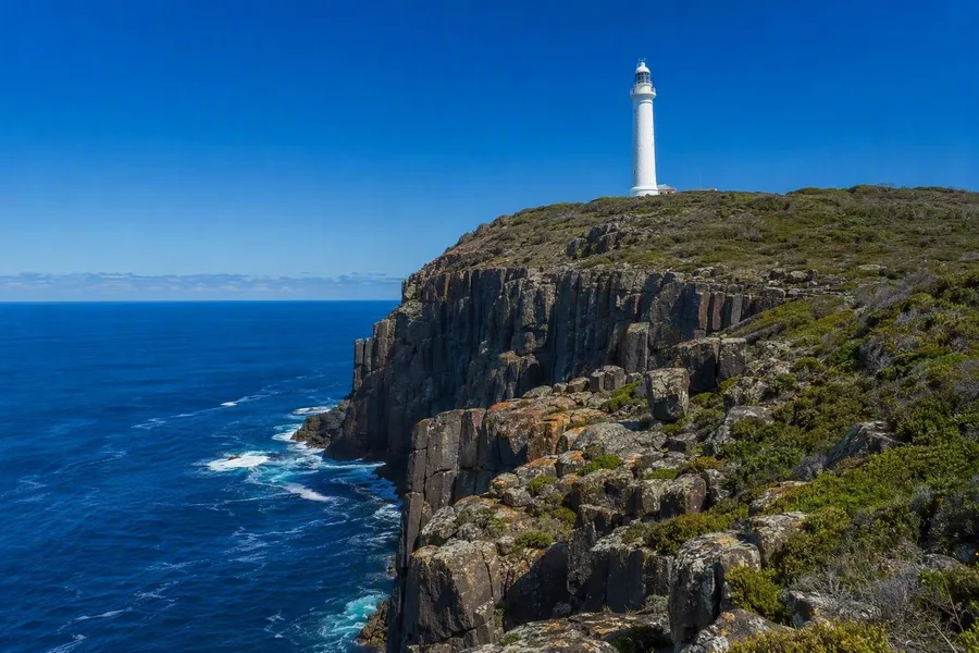 Cape Bruny Lighthouse stands above dark dolerite cliffs at Bruny Island’s southern edge.
South Bruny National Park brings heath, forest, beaches and dark dolerite cliffs to the road’s southern end. At Cloudy Bay, loose sand and low dunes form a broad beach arc exposed to the usual southwesterly and northwesterly winds. At Fluted Cape, the same hard Jurassic dolerite rises in a steep cliff above the sea.
Convict labourers helped build Cape Bruny Lighthouse in 1836, and its light first shone in 1838. The tower stands 114 metres above sea level on dolerite cliffs. At the cape, the road reaches the island’s exposed southern edge, where the ground drops away below the lighthouse into the Southern Ocean.