City · Kyrgyzstan
Bishkek
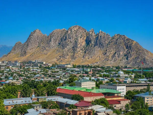
Bishkek is Kyrgyzstan’s capital, a low-rise, tree-lined city at the foot of the Kyrgyz Ala-Too range. Come for Soviet-era civic spaces, everyday markets and an efficient base for mountain country.
Get your bearings
Bishkek sits at roughly 800 metres on the northern edge of the Tian Shan. Its centre is a practical grid of wide avenues, irrigation channels and mature trees; the mountains lie south and make a useful compass. Chüy Avenue is the main east–west axis, while Erkindik Boulevard provides a shaded north–south walk through the centre.
The city was known as Frunze from 1926 until 1991. That Soviet chapter remains visible in its broad squares, public buildings and apartment districts. Base yourself near Ala-Too Square or south of Chüy Avenue if you want the central sights, parks and restaurants within easy reach.
The central circuit
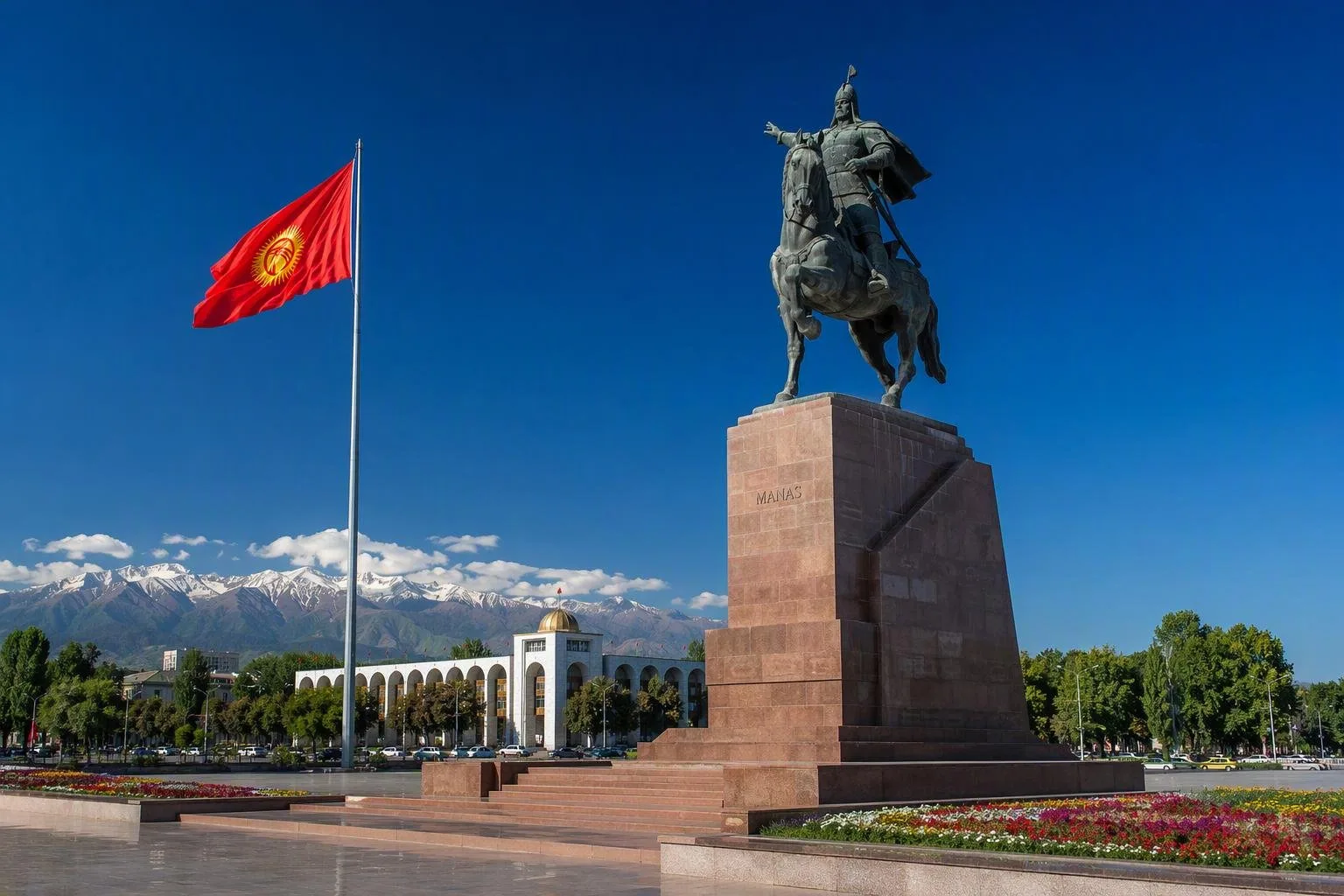
Start at Ala-Too Square, the capital’s ceremonial centre. The mounted monument to Manas, Kyrgyzstan’s epic hero, stands by the flagpole; the State History Museum faces the square. Allow an hour or more for the museum’s archaeological, ethnographic and Soviet-era displays.
Continue through Oak Park, also called Dubovy Park or Chyngyz Aitmatov Park. Its paths run among mature oaks and outdoor sculptures, with the National Museum of Fine Arts nearby. Erkindik Boulevard extends south from this area and is the simplest route for an unhurried central walk.
For a different civic monument, go east to Victory Square. Three curved arches evoke a yurt’s crown frame above an eternal flame; it is a memorial, not a photo prop. Panfilov Park, near the government quarter, has a small Soviet-era fairground and works best as a short break rather than a major sight.
Markets and food
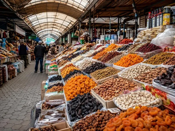
Osh Bazaar on the west side of central Bishkek is the city’s daily market district: produce, bread, nuts, dried fruit, spices, dairy, clothing and household goods occupy covered lanes and surrounding streets. Go in the morning for food stalls and the clearest view of its working rhythm. Carry cash for small purchases and keep valuables secure in crowded lanes.
Order food by the dish, not by a vague “local menu.” Useful basics include lagman (hand-pulled noodles), manty (steamed dumplings), plov (rice with meat and vegetables) and samsa from a tandoor. Try kurut, salty dried yogurt balls, at the bazaar before buying a bag.
Moving around and onward
The central grid is walkable, but distances to Osh Bazaar, the bus stations and outer districts warrant a bus, minibus or app-based taxi. Carry a map that handles Cyrillic street names; Kyrgyz and Russian are the everyday languages, while English is less consistent outside visitor-facing businesses.
Manas International Airport lies north of the city. Bishkek is also the transport hub for road journeys across Kyrgyzstan. For the nearest mountain escape, Ala-Archa National Park is about 40 kilometres south; it is a separate day trip, not part of the city. Arrange a return ride before setting out, and treat mountain weather and trail conditions as seriously as the distance suggests.
When to go
April to June and September to October are the most comfortable months for walking the city and combining it with mountain trips. Summer afternoons can be hot; winter is cold, and urban air quality can deteriorate. Use parks and shaded boulevards in the heat, and reserve museum time for the middle of the day.
From the magazine
Stories about Bishkek
Editorial stories linked directly to Bishkek.
No stories about Bishkek have been published yet.
Routes from our editors
Travel through Bishkek
Editorial routes connecting Bishkek with other countries, cities and hotspots.
No routes through Bishkek have been published yet.
More in Kyrgyzstan
Related hotspots
Other cities, nature areas and places within Kyrgyzstan.